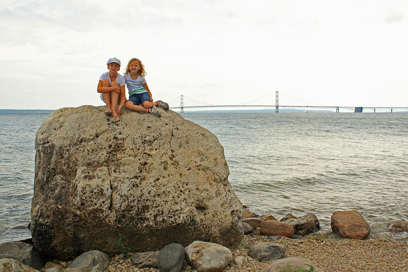
Just as we finished packing up camp in Grand Marais it started to rain. The light rain continued for our entire drive back over the bridge. Instead of setting up camp in the rain we decided to go into Mackinaw City for lunch. We parked our truck and camper in the big lot behind Mackinaw Outfitters. We would later find out that Mackinaw Outfitters had gone out of business and was replaced by another giant souvenir and t-shirt shop. So after leaving one of my favorite towns in Michigan we arrived in one of my least favorite and found that the outdoor store was out of business. At least the rain was starting to let up!
Trip Highlights - Click to jump to that section
Camping at Wilderness State Park
McGulpin Point Lighthouse
Mountain Biking Wilderness State Park
Kayaking Waugoshance Point - Wilderness State Park
Mountain Biking at The Headlands
|
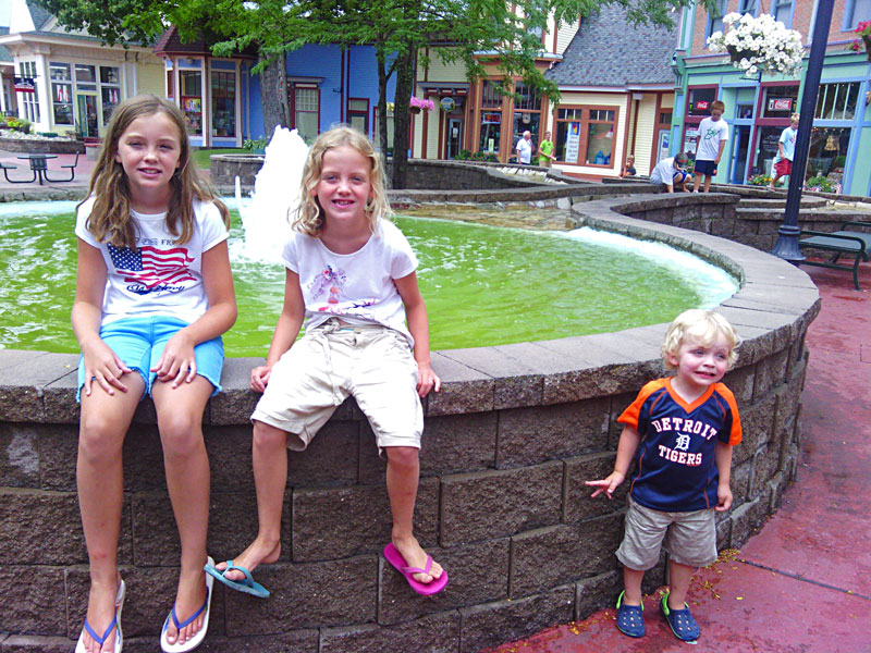 |
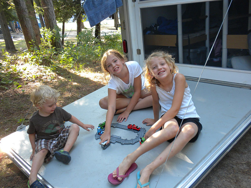
| Since Reid has been into trains lately, we decided to eat at the Historic Depot Restaurant in Mackinaw Crossings. Overall the food and service was pretty good. It was maybe a little expensive for lunch, but you have to expect that when you are up here. By the time we finished lunch it was starting to dry out and the heat was coming back again. We walked around town a little and then went on Wilderness State Park to our campsite.
Reviews for the Historic Depot Restaurant on TripAdvisor >>
|
|
| Camping at Wilderness State Park: |
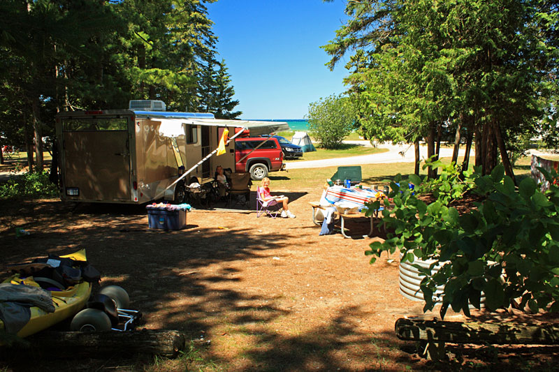 |
| At Wilderness State Park we pulled into site 150 in the Lakeshore Campground. Even though we made our reservations early we were not able to get one of the sites right on the beach. Site 150 seemed to be the next best option. It was the last site on the west loop and it had more privacy than most of the sites. The camper beach access is just across the street. The rest of the sites on the outside of the loop looked okay, but the sites in the center of the loops are really close together. I wouldn't want to stay in these unless booking with a group of friends.
|
|
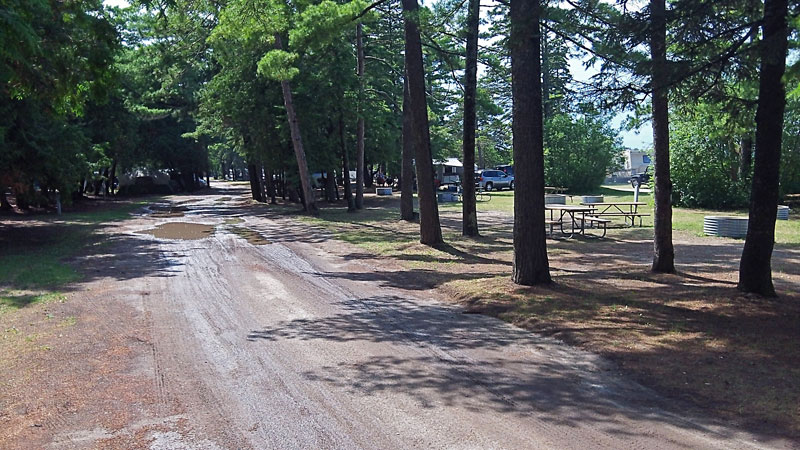 |
| With all the recent rain the gravel roads in the Lakeshore Campground were muddy for most of our stay. |
|
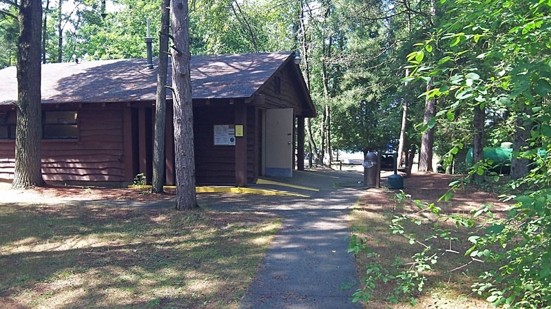 |
| The bathhouse in was one of the oldest we have been in and really could use an update or at least better lighting in the showers.
Wilderness State Park also has the Pines Campground loop across the street which is newer with paved roads, camper pads and a more modern bathhouse. The down side of staying here is that it is a considerably longer walk down to the beach. |
|
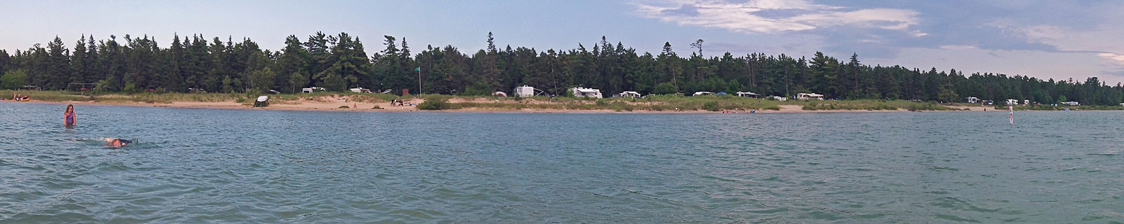 |
| After we finished setting up camp we walked over for a swim. The campground is on Big Stone Bay, but the beach here is one of the few nice sandy spots in this area. Extending a couple 100 yards out from the narrow beach is crystal clear shallow water that is perfect for swimming. The photo above was taken standing in water that was just over knee deep looking back toward the campground.
Click here to see the larger version of this picture >> |
|
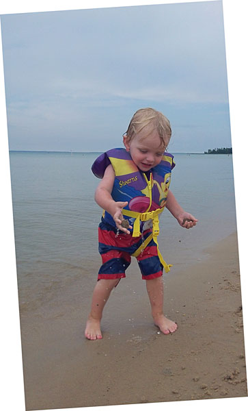 |
| Reid had a great time playing in the shallows. |
|
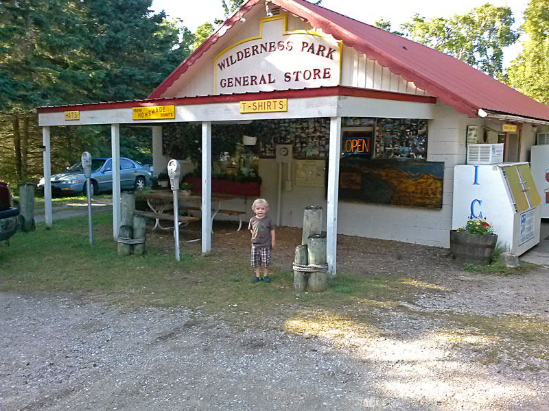 |
| After dinner we visited the Wilderness Park General Store to get ice and a few supplies. This place is your typical camp store with a little bit of everything. The owner offered us some of his leftover donuts that he was getting ready to throw out. He obviously knew what he was doing because we were back 2 out of the next 3 mornings for more. |
|
 |
| The Wilderness Park General Store also has a small selection of hand dipped icecream. The store is located about a mile past the campground on Wilderness Park Drive. If you go, make sure to take cash because they do not accept credit cards.
Directions to Wilderness Park General Store >> |
|
 |
| The evening was still warm and humid so we went back in the lake one more time to cool off. |
|
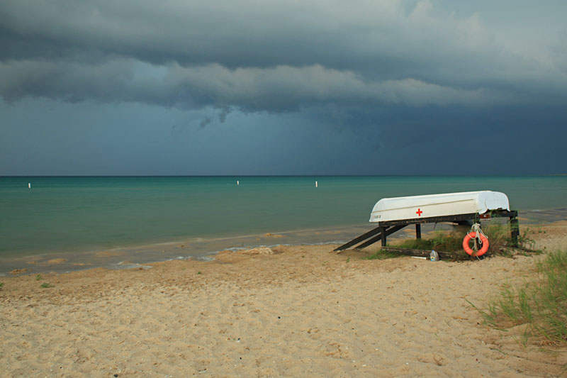 |
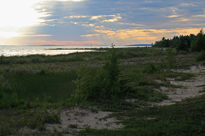
| All afternoon we could see a line of storms passing to our north. While we were swimming the dark clouds started to drift closer and when we started to seeing lightning it was time to get out of the water. The storm ended up just missing us again. We could hear thunder and see lightening on and off for the rest of the evening, but didn't get any rain. We were very fortunate because a couple days later we found out that this storm caused 70 mph winds on the Mackinaw Bridge the tipped a semi up on it's side against the suspension cables. Glad we were not pulling light weight camper over the bridge at that time. |
|
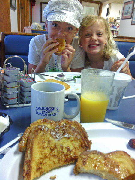 |
| The next morning we woke up to a steady rain. The kids are excited to hear the rain tapping on the roof in the morning because it usually means that we will be going out for breakfast. We drove into town and went to Darrow's Family Restaurant which at the time was ranked #1 on TripAdvisor. The breakfast was very good, but also very expensive. I think it was almost $50 for our family of 5 which is way too much breakfast.
More Mackinaw City restaurant reviews on TripAdvisor >>
|
|
| McGulpin Point Lighthouse: |
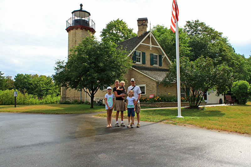 |
| By the time we finished breakfast the rain was letting up so we drove over to McGulpin Point Lighthouse. A nice old couple out celebrating their 50 something anniversary offered to take our family picture just as the sun was starting to break through the clouds. |
|
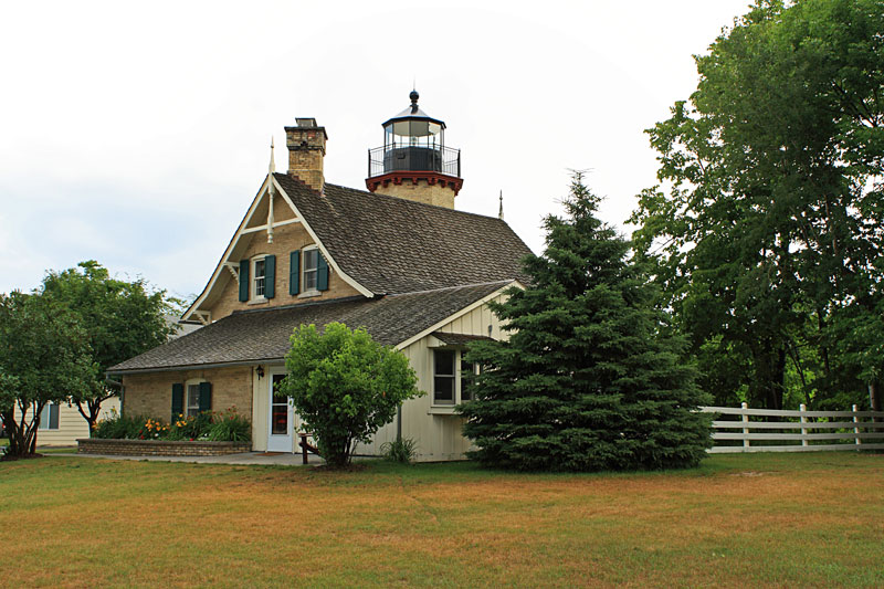 |
| The McGulpin Point Lighthouse and grounds are well maintained and everything is open free of charge. |
|
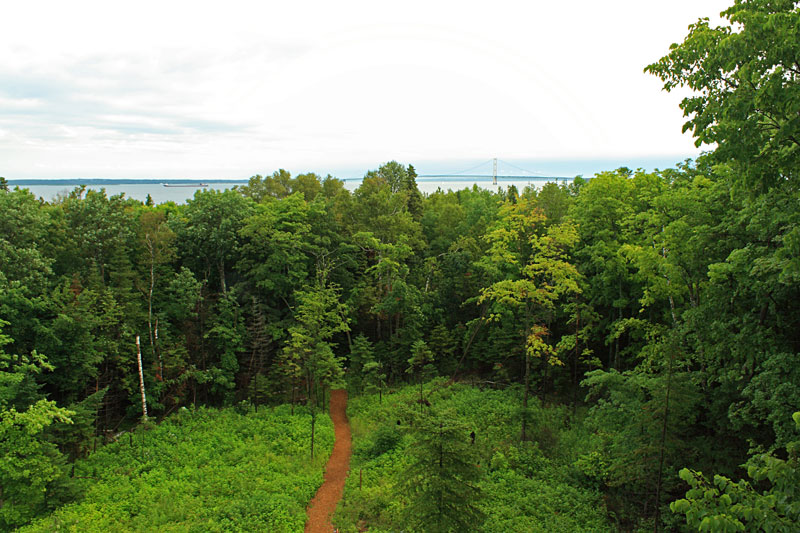 |
| The view of The Straits from the top of the McGulpin Point Lighthouse tower. Inside there is a small gift shop, museum and climbing to the top of the tower is encouraged. |
|
|
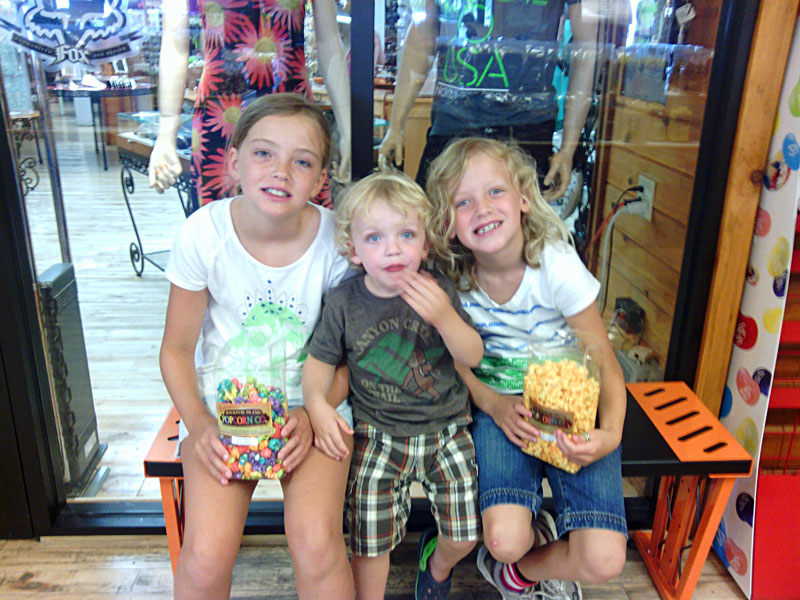 |
| After this it was back into town one more time to pick up a few gifts.
|
|
| Mountain Biking Wilderness State Park: |
|
In the afternoon it was time check out the Wilderness State Park Trails on the mountain bike. This 8.5 mile counterclockwise loop starts at the Lakeshore Campground and then follows the 2-tracks through eastern part of the park. The ride starts by heading up the road to the Pines Campground and around the gate to the start of Swamp Line Road. After about 2.5 miles you turn left on to South Boundary Road. From here you ride 1.5 miles straight east to the next left turn on to the Nebo Trail. You soon pass the Nebo cabin and continue on for 2.5 miles until reaching Wilderness Park Drive. It is about 2 miles of riding on the shoulder of the paved road back to the start. I was riding my fat bike so I went down to the beach at the picnic area for the last 0.5 mile back to our campsite.
|
|
|
| The Wilderness State Park Trail Map. Most of the trails are open to Mountain Biking except for: Big Stone, East Ridge, Hemlock and Red Pine. It sounds they are all an easy ride on old 2-track roads.
If the map does not show above click here >> |
|
 |
We spent the rest of the night swimming, biking around the campgrounds and relaxing at the campsite. Reid spent most of his down time playing trains.
|
|
| Kayaking Waugoshance Point - Wilderness State Park: |
 |
| I got an early start the next morning and drove out to the end of Waugoshance Point Road for a morning paddle. Overnight the weather finally changed. The heat and humidity that was with us most of the week was gone and the cool morning air felt great.
|
|
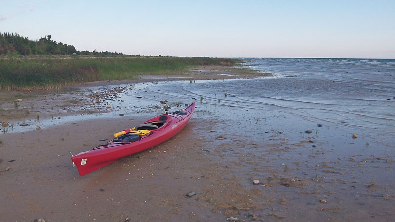 |
| Getting ready to launch. It is about a 100 yard carry to get your kayak from the parking area to the water here. I have always wanted to paddle out to Waugoshance Island at the end of the point here. However, both times the weather was not quite right and this time was again more of the same. There was wind from the north kicking up 2 to 3 foot waves. I made it to the shelter between Waugoshance Point and Temperance Island and decided to turn around. This is always an interesting place to paddle and I can't wait to get back and try it again. |
|
|
A GoPro time-lapse from kayaking out to the end of Waugoshance Point and back. There are shoals extending off from shore here so to stay out of the breaking waves I had to stay far from shore for most of the paddle which was not real good for the photos. time-lapse from kayaking out to the end of Waugoshance Point and back. There are shoals extending off from shore here so to stay out of the breaking waves I had to stay far from shore for most of the paddle which was not real good for the photos.
|
|
| Mountain Biking at The Headlands: |
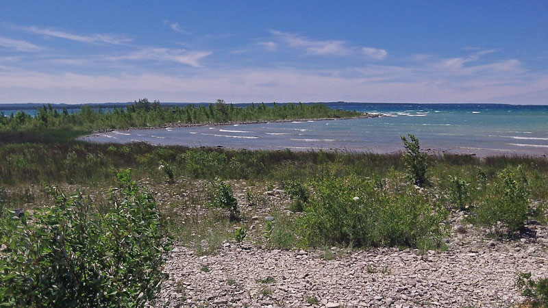 |
| Next we packed lunch in the cooler and drove to The Headlands. We had not been here before and really didn't know what to expect. I saw that the trails were open to bikes so we decided to have a picnic and then check out the trails. There wasn't really a picnic area, but we found the benches on the shore by the dark sky viewing which worked fine and had the view above. |
|
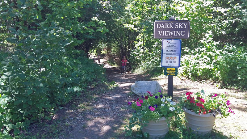 |
| The trail heading down from the parking lot to the Dark Sky Viewing Area. |
|
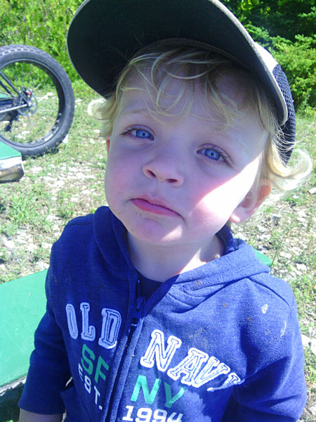 |
| Reid had to borrow my hat to keep the sun out of his big baby blue eyes. |
|
|
| I headed out first on the bike to scout the trails. This 4 mile ride starts at the parking for the Dark Sky Viewing Area and then loops clockwise starting down the Voyager Trail. Then goes out and back to the "overlook" on the Trillium Trail. From here back to the start on the McCormick Lake trail and then ends with a short ride along the shore. The trails here are all old 2-tracks making for an easy ride with some hills. I wouldn't make a special trip here to ride, but if you are in the area it is worth checking out. |
|
|
| The Headlands trail map. The trail along the shore from the end of the McCormick Lake Trail back to the Dark Sky Viewing Area is not shown on the this map. |
|
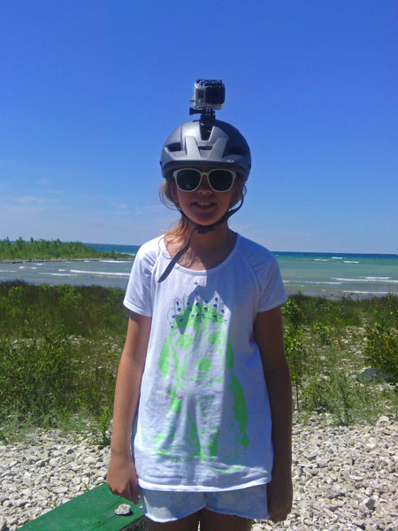 |
| Next it was the girls turn to ride and Regan's turn to wear the GoPro. |
|
|
We drove the girls back up to the park entrance. From here it is about a 1.5 mile ride back to the Dark Sky Viewing Area on the McCormick Lake Trail that is mostly down hill. Regan added some good commentary while riding.
More about The Headlands from the Emmet County website: "The Park contains approximately 550 acres of pristine woodlands, more than two miles of undeveloped Lake Michigan shoreline and many species of rare and endangered plant life. Visitors to the Headlands may experience sightings of the many wild animals native to the area including: bald eagles, osprey, white tail deer, wild turkeys, coyotes and occasionally a black bear. Marked nature trails guide hikers, bicyclists, cross-country skiers, and nature photographers to experience the park throughout the changing seasons."
More Information on The Headlands >>
The Headlands on Google Maps >>
|
|
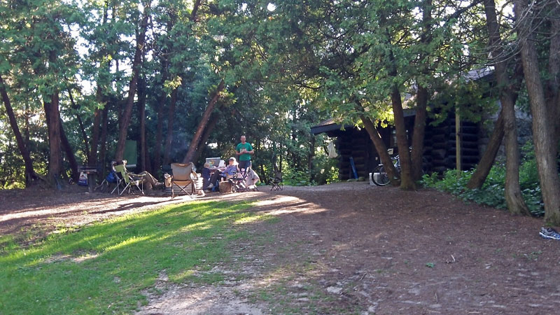 |
| It was a coincidence that our friends were just moving into the Sturgeon Bay cabin for the week. We spent a really nice last night of our vacation eating dinner and catching with them around the fire. |
|
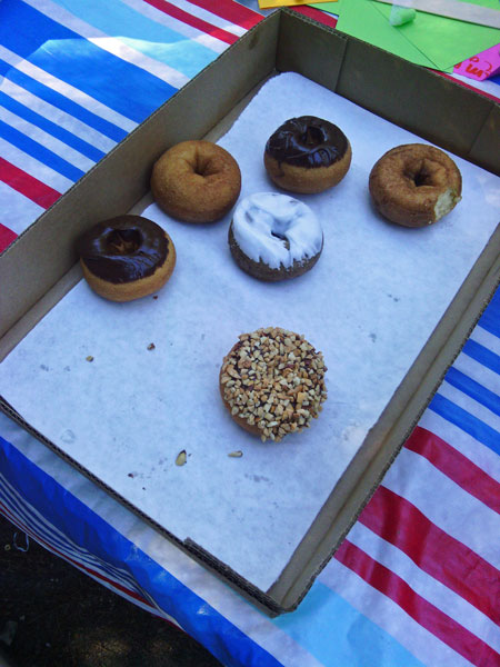 |
| Sunday morning we were ready to get back home so we planned a quick escape. However, before hitting the road we had to make time for one more box of fresh homemade donut goodness from the Wilderness Park General Store.
-The End- |
|
|
<< Back to Page 2 - Grand Marais | Home Page >>
Like our Facebook page to get notified when we make new additions to MyMichiganTrips.com >>
|
|
|
|
|
|
|
| |