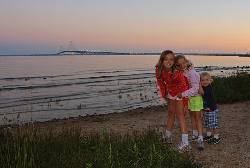
This summer we planned two different trips up to Michigan's Upper Peninsula. Our first trip was in the eastern UP and Straits area with stops at Straits State Park, Tahquamenon Falls, Grand Marais and Wilderness State Park. We left after work on Thursday and drove up over the bridge and spent the night at the Straits State Park. This is the second time now that we have stayed just for the night in one of the pull through sites here. It breaks up the driving and it is nice that you do not use half of your first day of vacation just getting over the bridge.
Even up in the UP we had some of the warmest and most humid weather of the season. This also made for some unstable weather although it never rained for very long. The warm humid weather and the cool spring made conditions perfect for pesky bugs. The black flies and mosquito's were the worst that we have seen them up here. Fortunately right in the campgrounds at Grand Marais and Wilderness State Park it was a little better.
Trip Highlights - Click to jump to that section
Naomikong Pont - Lake Superior Shallows Area
The River bend Campground - Tahquamenon Falls State Park
Lower Tahquamenon Falls Rowboat Rentals
Upper Tahquamenon Falls
Hiking The Tahquamenon River Trail
White Fish Point
|
 |
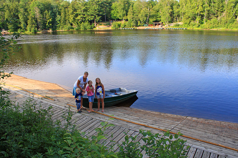
We were settled into our site at the Straits State Park with just enough time to walk down to the lower campground and see the last of the sunset behind the Mighty Mac. Walking back up the road to our site we had the first taste of the small biting bugs that would follow us for the rest of the week.
|
|
| Naomikong Pont - Lake Superior Shallows Area: |
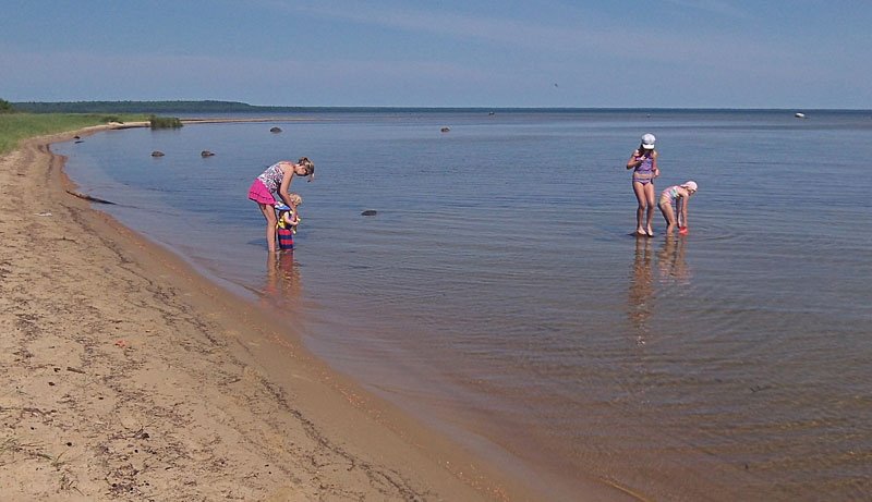 |
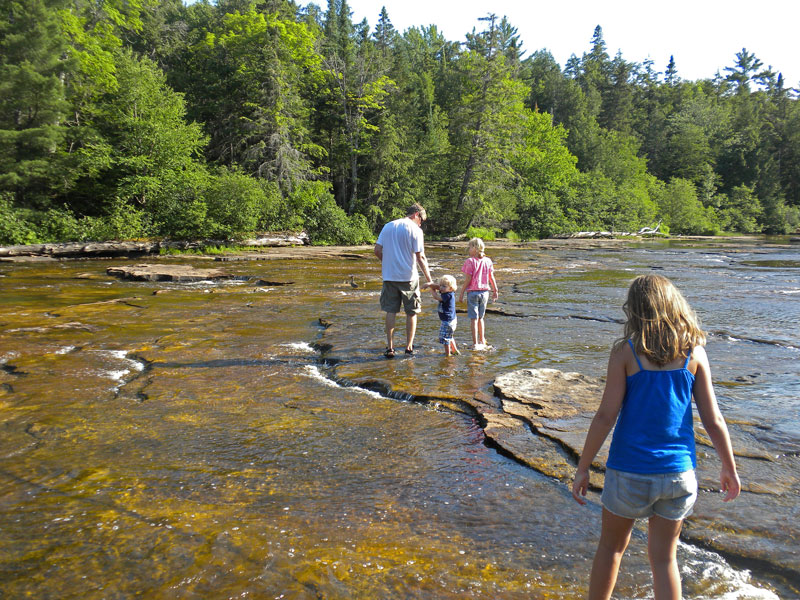
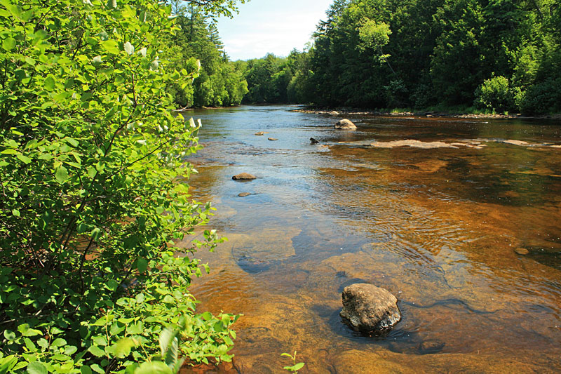
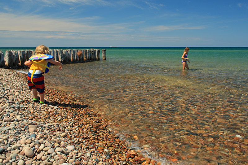
| The drive from St Ignace up to Tahquamenon Falls is only about 1.5 hours so we planned a stop to explore the beach on Tahquamenon Bay. The Lake Superior Shallows day use Area is located 5 miles east of US123 on the Whitefish Bay Scenic Route. There are 2 different pull offs about 2 miles apart. We stopped at the 2nd parking area. Each has several parking spaces, picnic tables and pit toilets.
|
|
 |
| The beach here sandy, but narrow. The real attraction here is wading and swimming in the warm shallow water the extends a few hundred yards off shore. |
|
|
While everyone played in the water I headed out on the fat bike towards Naomikong Point. I first read about this area in the Hiking Michigan's Upper Peninsula Book.  It sounded like all the sand bars would make for an interesting ride. However, with the current lake levels there were several water crossings including a long bike carry at the mouth of Naomikong Creek. There is a bridge inland on the North Country Trail, but I was already out at the end of a sand bar so I decided to ride and then walk in the water. The rocky shore at the points was not rideable and difficult to walk the bike around. After about 2 miles I decided it was time to turn around. It sounded like all the sand bars would make for an interesting ride. However, with the current lake levels there were several water crossings including a long bike carry at the mouth of Naomikong Creek. There is a bridge inland on the North Country Trail, but I was already out at the end of a sand bar so I decided to ride and then walk in the water. The rocky shore at the points was not rideable and difficult to walk the bike around. After about 2 miles I decided it was time to turn around.
By the time I got back everyone had just gone to the camper because the black flies were coming out. Instead of staying here and sharing our picnic lunch with the flies we decided to continue on to our campsite.
|
|
| The Riverbend Campground - Tahquamenon Falls State Park: |
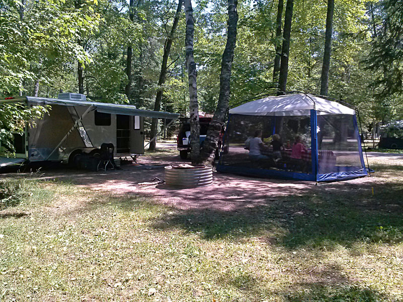 |
| At Tahquamenon Falls we stayed at campsite 81 in the River Bend Campground. It was a nice site at the end of the loop that backed up to trees and had plenty of open space to the left side of the site. If you can not get one of the sites overlooking the river this is a good alternative. We have always stayed in this campground because we like that you can walk over to the Lower Falls area and it is just a short drive to the Upper Falls. There is also a big modern bathhouse on this loop. I have also read good reviews for the River Mouth Campground, but we have not stayed there yet. |
|
 |
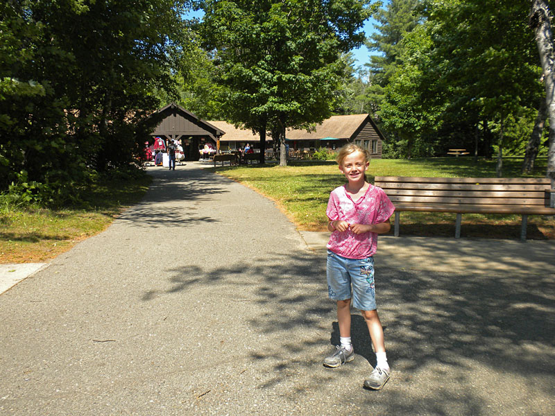
| After a late lunch we walked over to see the lower falls, and of course visit the concession. The girls had saved some money for the trip and they couldn't wait to try and spend it. We have learned that it is best to get the visit to the gift shop out of the way as soon as possible so we do not have to hear about it the rest of the trip. |
|
 |
| Reesey by the Lower Falls concession. |
|
 |
| 3 years later and they still have not learned how to eat ice cream.
Being able to walk over for ice cream is the other benefit of staying at the River Bend Campground. |
|
 |
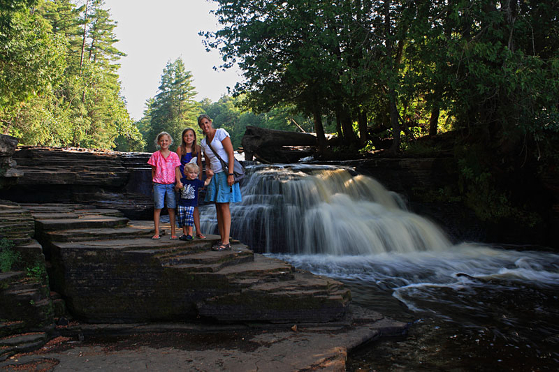
| Mom and her best buddy at the Lower Falls overlook
|
|
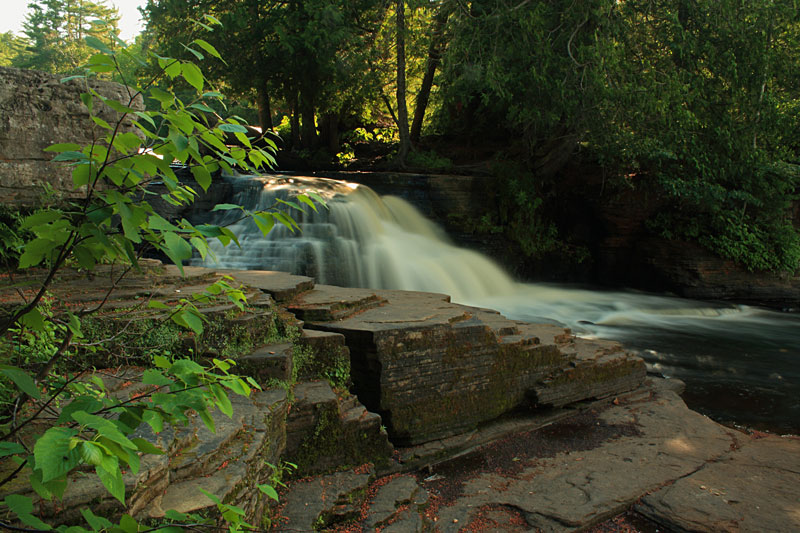
| Lower Falls Row Boat Rentals: |
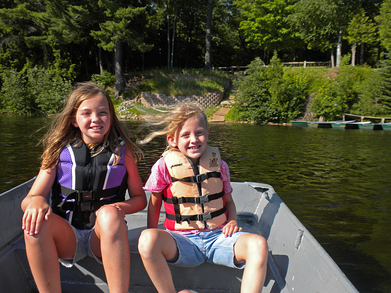 |
| After dinner we walked back over to the Lower Falls and rented a row boat and paddled over to island between the falls. It is an easy paddle of about 500ft and the concession has nice docks making it easy to get everyone in and out of the boats. I think the cost was $16 for a family of up to 6 people. The kids thought is was great and this was the only thing that the girls remembered from our previous visit. |
|
 |
| On the island there is a easy 0.5 miles trail that circles the island and gives you an up close look at the Lower Tahquamenon Falls. We set off walking in the clockwise direction. |
|
 |
| The view from the observation deck of the falls on the east side of the island. |
|
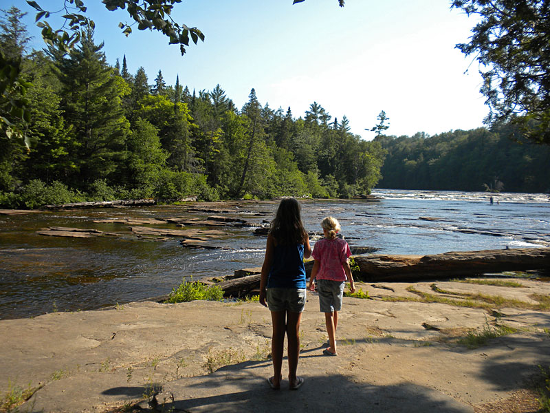 |
| Looking up river at the top end of the island. |
|
 |
| Make sure to wear your sandals. This is a popular place to walk in the river when the water levels are low. If you decide to wade in, watch your step because the rocks are slippery and there are some holes that are deeper than they look. |
|
 |
| Continuing around to the falls on the other side of the island. |
|
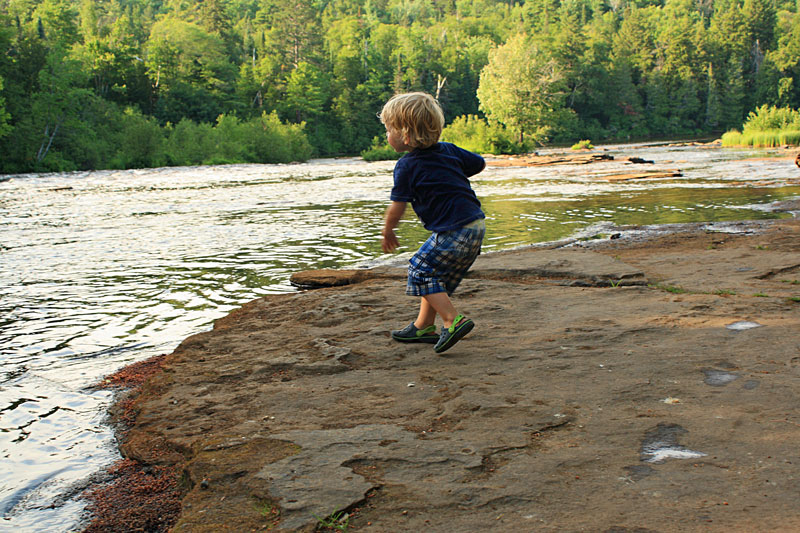 |
| Reid found some rocks to throw in the river. Something he would be doing for the rest of the trip. |
|
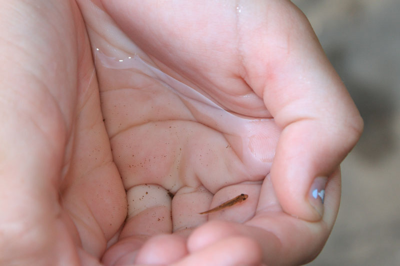 |
| Regan caught a minnow in the pool below the falls. She wanted to try and take it back in her hands on the boat, but we finally talked her out of it. |
|
 |
| One more of the falls. |
|
|
|
| This was the next morning. Do you think they like walking in the falls?
|
|
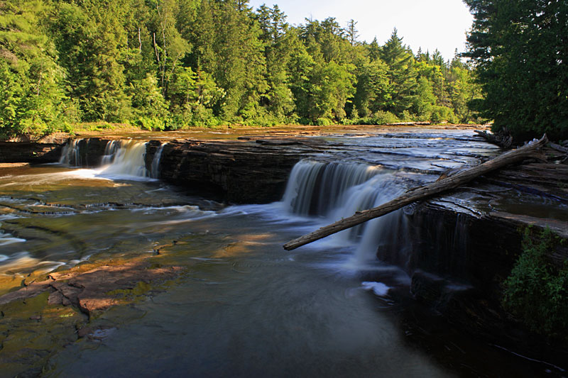
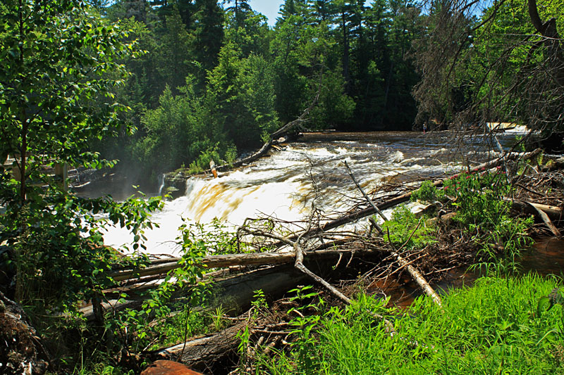
| Upper Tahquamenon Falls: |
 |
| After breakfast the next morning we drove up to see the Upper Falls. |
|
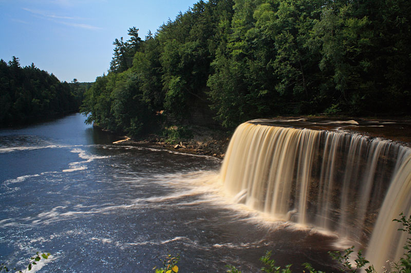 |
| Morning sun on the Upper Tahquamenon Falls. |
|
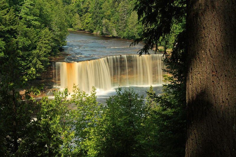 |
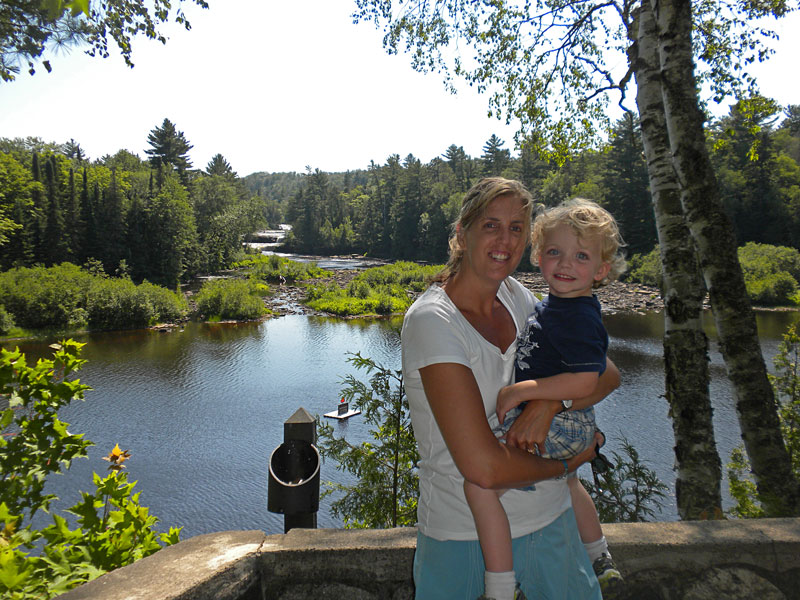
The view from the Upper Falls overlook.
|
|
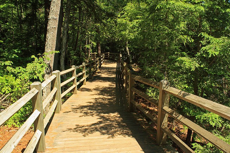
| The Tahquamenon River Trail: |
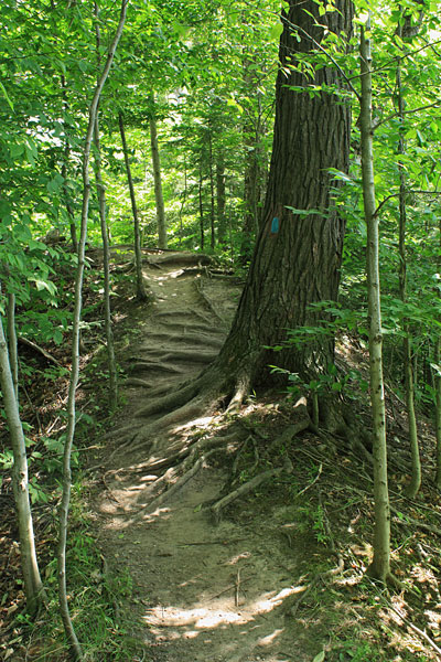 |
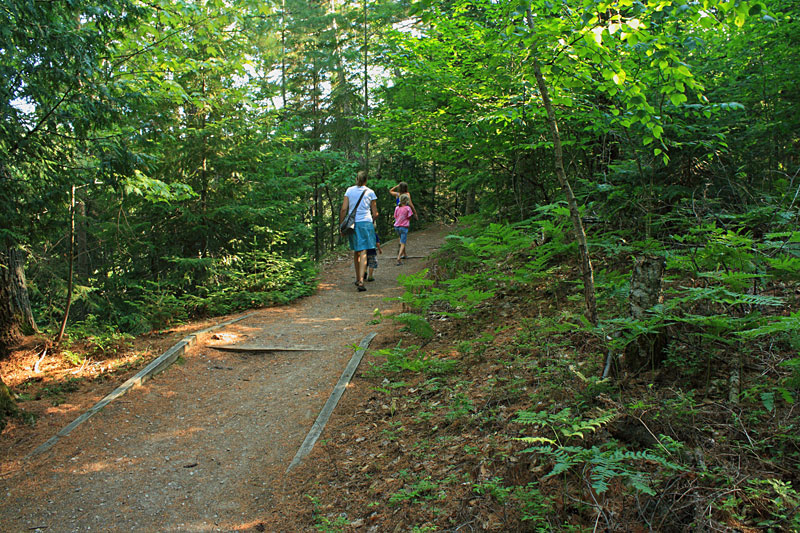
| While Mom and the kids checked out the gift shop at the Upper Falls I hiked the Tahquamenon River Trail back to our campsite. This 4 mile hike is moderately difficult with more climbing than you would expect and some sections of fairly rough and rooty trail. I figured that walking in the downstream direction would be more down hill than the other direction. I have seen people on the trail in flip flops, but I would recommend at least a sturdy pair of shoes.
|
|
|
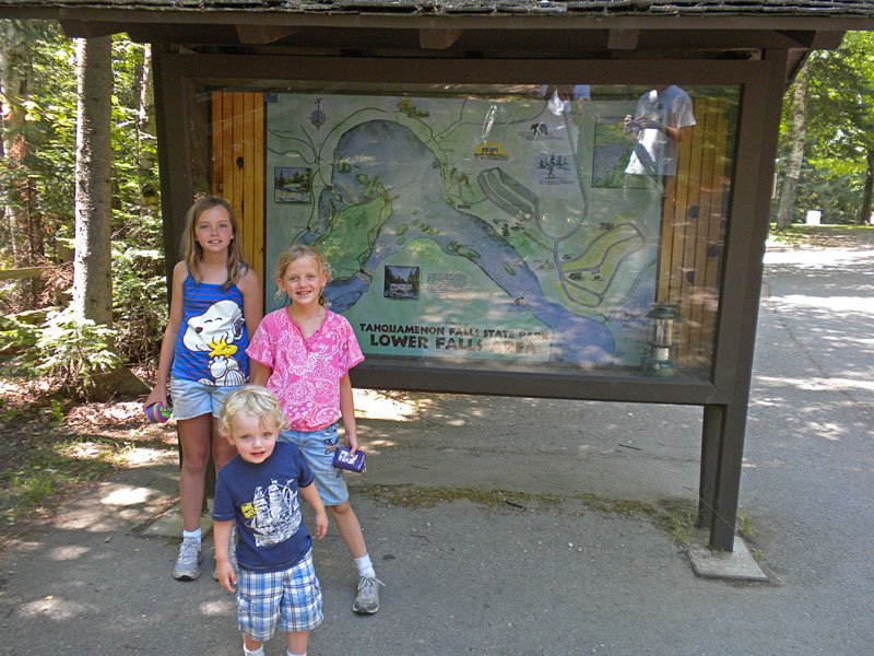
| The Tahquamenon Falls State Park hiking trail map. Right click the map to save, print or rotate. |
|
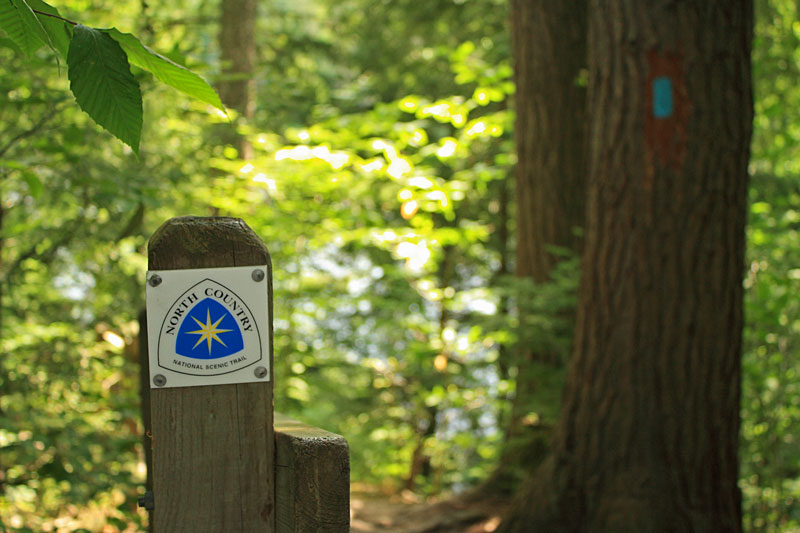 |
| This is also a section of the North Country Trail and it is well marked with the standard blue blazes. |
|
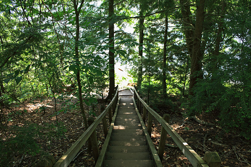 |
| Several of the steep trail sections have stairs. |
|
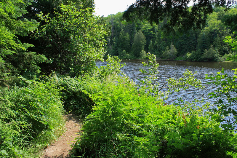 |
| After climbing up and over a ridge on a bend in the river the trail drops down and runs along the river bank. |
|
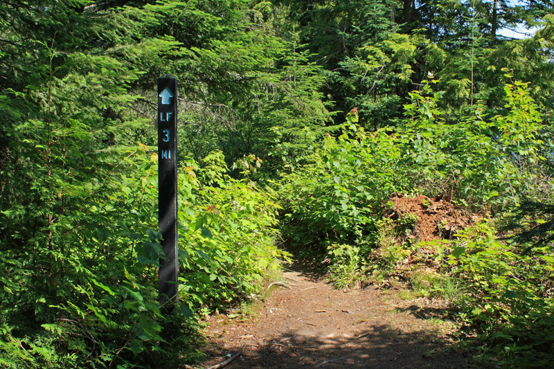 |
| There are posts at each mile along the way. |
|
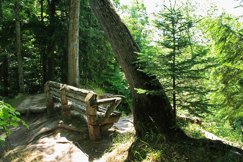 |
| After about a mile hiking down along the river the trail climbs up to this bench with a view of the river that is mostly blocked by the trees. |
|
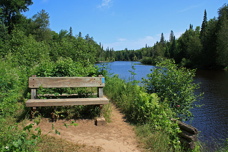 |
| By the halfway point you are back down by the river again and there is another bench if you need a rest. |
|
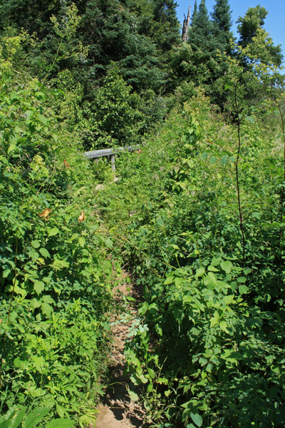 |
| Several of the sections down by the river were getting overgrown already. |
|
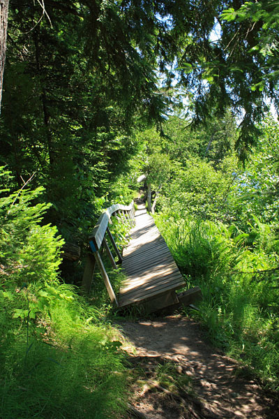 |
| There are bridges running over the several small streams flowing down into the river. This was one of the longest and most interesting to cross. |
|
 |
| As you near the Lower Falls the river bottom changes to mostly rock and you can see the current starting to pickup. |
|
 |
| After climbing up high on the bank one more time you drop back down to the lower falls boardwalk and have to fight your way through the crowds for about the last 0.25 mile of the hike. |
|
 |
| The view of the Lower Falls from the boardwalk.
Most maps mark this as a 4 mile hike, but my GPS track had it at 4.5 miles and it took about 1.5 hours to complete. There is a shuttle available if you can't arrange transportation. I think it started at $15 for the first person and $2 for each additional person.
|
|
| White Fish Point: |
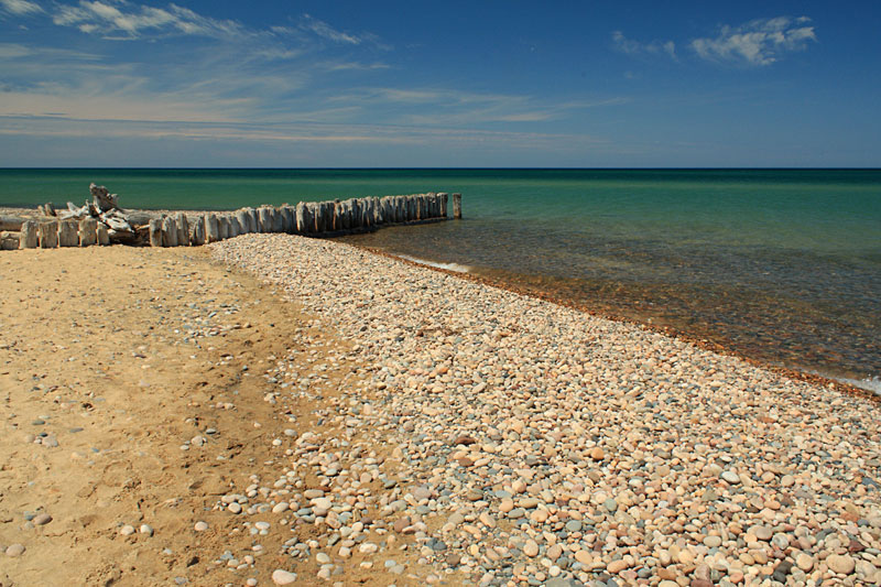 |
| After lunch it was starting to get really warm so we decided to spend the afternoon on the beach at Whitefish Point. |
|
 |
| This is another good place for throwing rocks into the water. Reid decided to up his game and would only throw rocks the size of tennis balls or larger. After a couple near hits we all learn to stand back. The beach was really nice except for the biting stable flies that found us again. They were not terrible, but just annoying enough that after a couple hours we were ready to head back. |
|
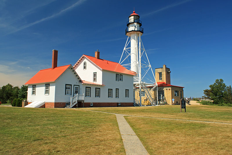 |
| On the way to the car we walked around and checked out the White Fish Point Lighthouse. The Great Lakes Ship Wreck Museum is also out here on the point. We went through the museum a few years prior and it is worth seeing at least ounce, but it is a little too expensive to do on every visit. |
|
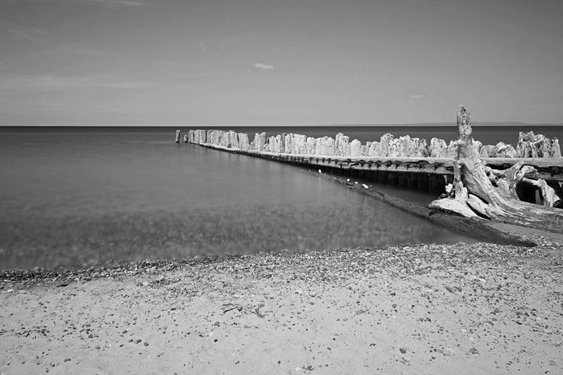 |
A long exposure of one of the breakwalls at Whitefish Point. We had fun walking out on these and jumping in.
|
|
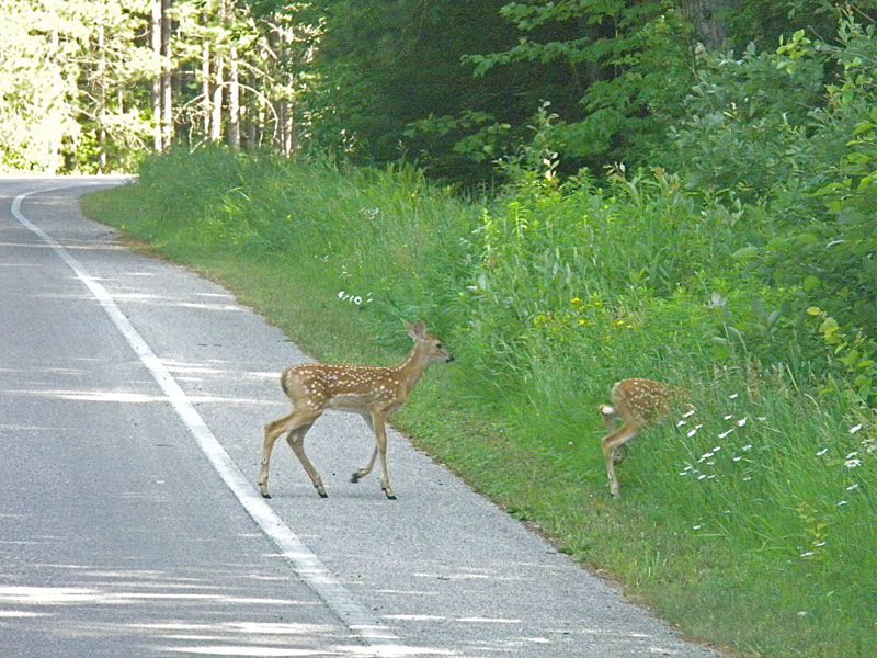 |
| For dinner that evening we decided to go to the Tahquamenon Falls Brewery by the Upper Falls. On the way out of the campground a doe and two fawns walked across the road right in front of us. |
|
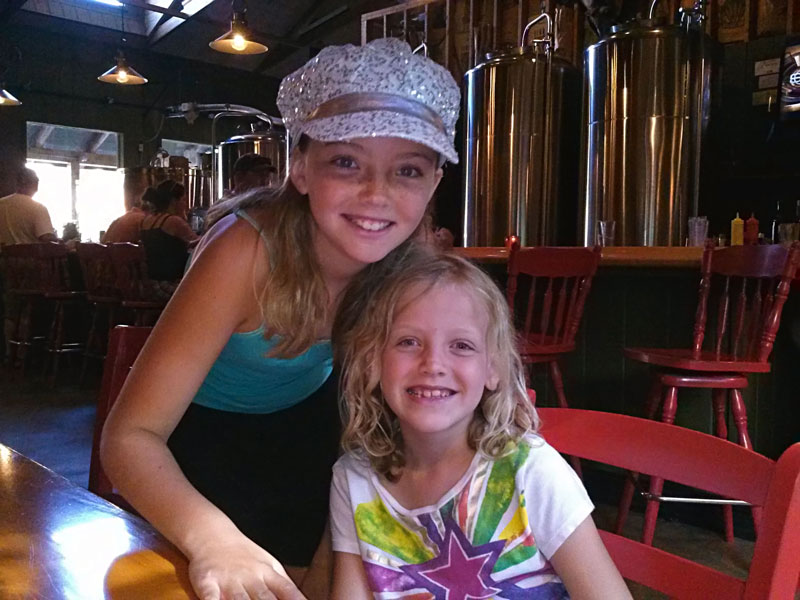 |
| We have eaten at the brewery a couple times before and every time we leave saying the food, beer and service is all kind of average. We had a whitefish dip appetizer which was good, but it only came with the individual saltine cracker packs and when we got to the center it was still cold. There just are not many other choices in this area. Next time I think we will try the Brown Fisheries Fish House in Paradise.
In the morning it was time to pack up head to Grand Marais, MI. We felt like spending 2 days and 2 nights in the Tahquamenon Falls area was about the right amount of time and were ready to move on. |
|
|
<< Back to Our Home Page | Page 2 - Grand Marais and Pictured Rocks >>
Like our Facebook page to get notified when we make new additions to MyMichiganTrips.com >>
|
|
|
|
|
|
|
| |