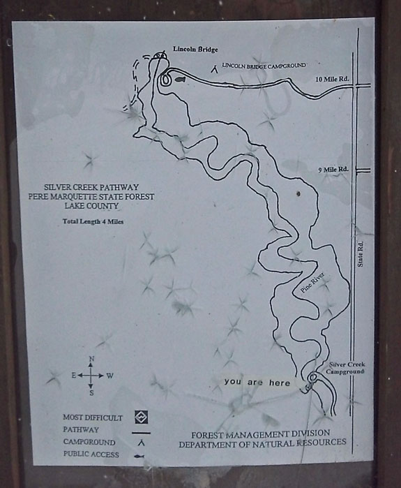
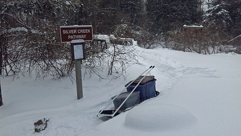
For this year's winter camping trip we chose to do the Silver Creek Pathway near Luther, Michigan. This trail makes a 4 mile loop along the banks of the Pine River. The trailhead is at the Silver Creek State Forest Campground where you begin by crossing the Silver Creek Foot Bridge to the south bank of the Pine River. The trail then heads northwest along the river for 2 miles up to Lincoln Bridge where there is another State Forest Campground. The snow was really deep making for slow travel so we did not get to see the last 2 miles back to Silver Creek, but it sounds like this is scenic section of trail that follows the bluffs high above the river.
The first half of this winter has been bitter cold and windy the majority of the time. We were fortunate to have picked one of the few weekends with high temperatures in the low 20s and calm winds.
|
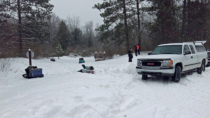 |
| The entrance to the Silver Creek Campground was not plowed so we had to shovel out a couple spaces on the side of the road. We first drove up the road to check out the Lincoln Bridge Campground, but that entrance is part of the snowmobile trail that runs through here in the winter. |
|
 |
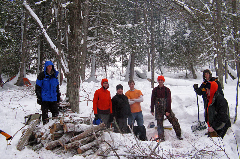
| After having a low turn out for last year's winter camping trip we set a new record with 7 of us this year. Photo by J.V. |
|
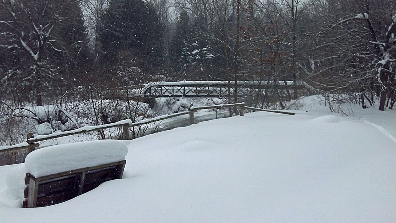 |
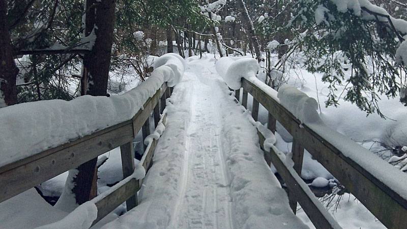
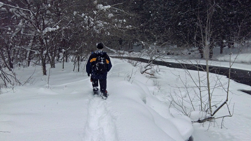
| Approaching the Silver Creek Bridge in the campground. The bridge is named after Silver Creek, but it actually takes you across the Pine River. Right away we realized with all the snow that we had this year it was not going to be easy walking, even with snowshoes. |
|
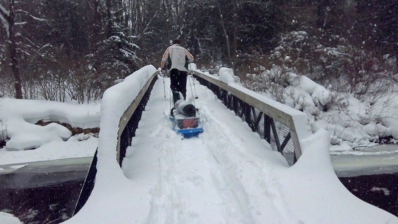 |
| Crossing the snow covered bridge. |
|
 |
| Just after the main bridge you cross Silver Creek on the smaller bridge above. |
|
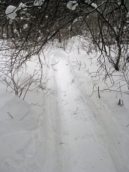 |
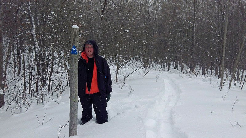
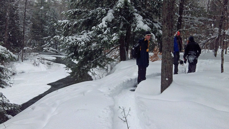
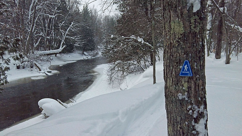
| After the bridges we had trouble finding the trail so we just started heading along the river. After a little walking we came across the trail markers again. The trail is marked with the typical DNR blue triangles, but we found that they were few and far between in several sections. Photo by J.V. |
|
 |
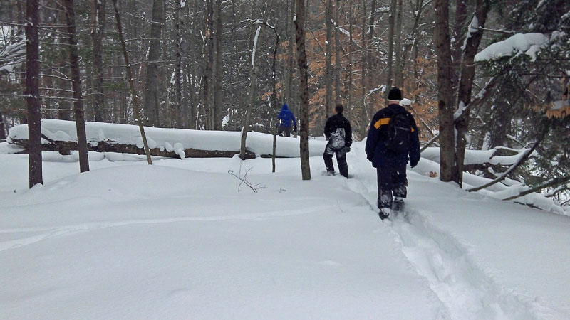
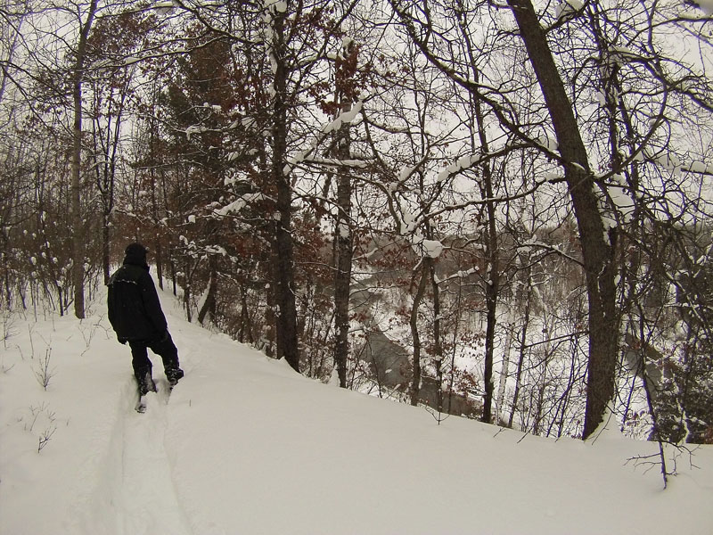
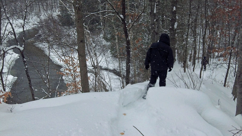
| The first part of the trail climbed up high above the Pine River. |
|
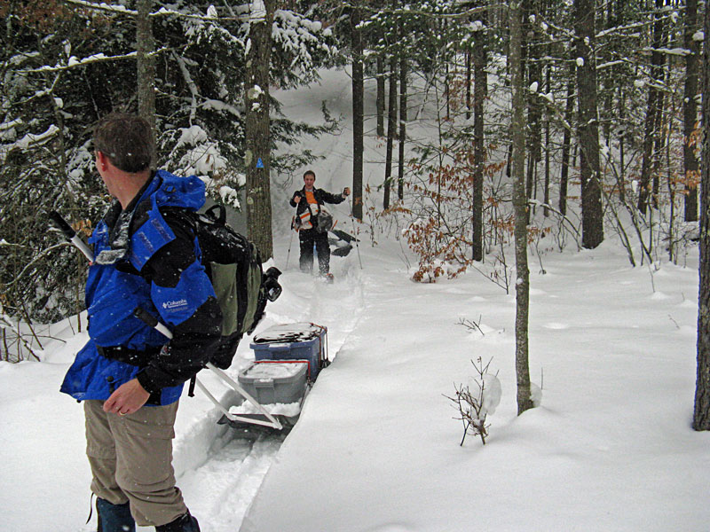 |
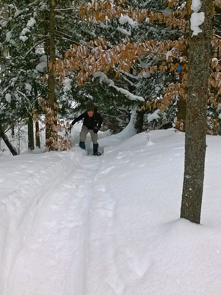
| About halfway to camp the trail dropped down a steep hill and started following closer to the river. With heavy loads in the sleds and deep snow this hill took down a few of us. Photo by J.V. |
|
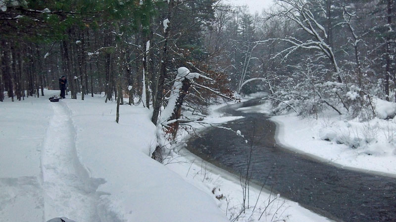 |
| Blazing a trail along the river. |
|
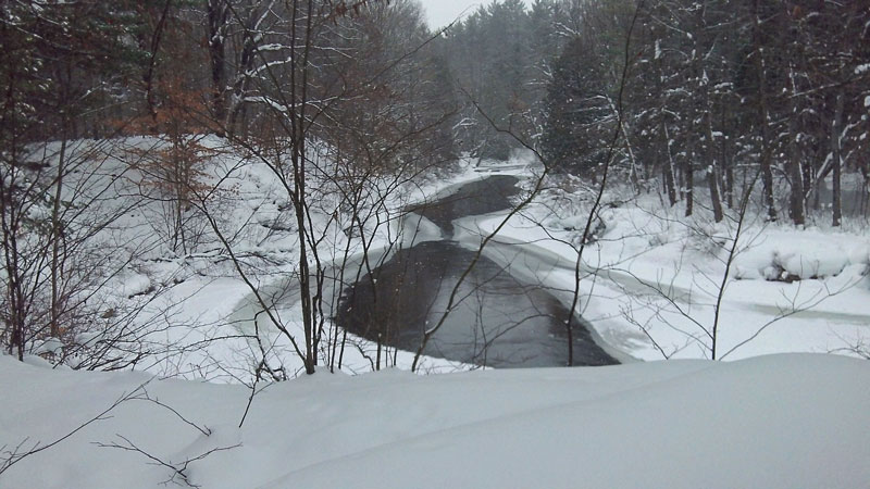 |
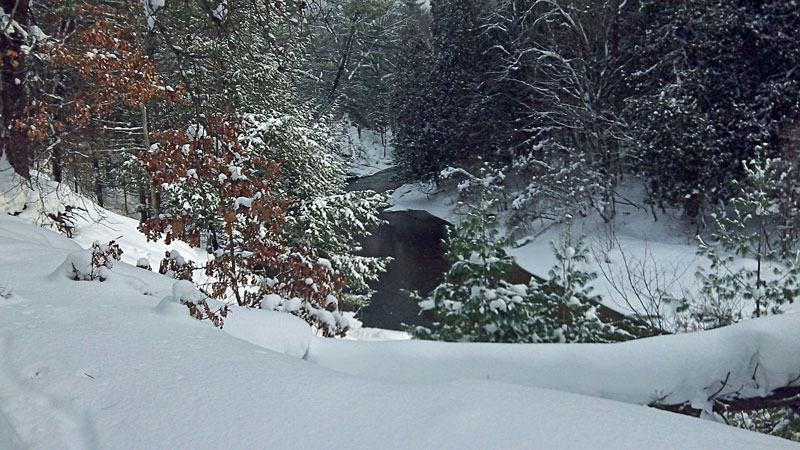
There were a few spots where ice was almost touching in the center of the river.
|
|
|
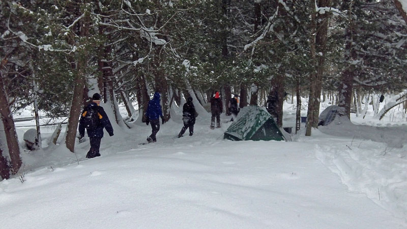
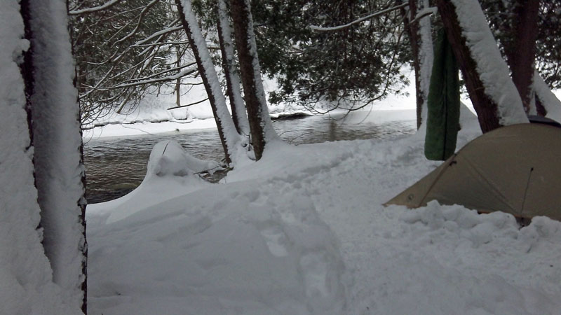
| After dragging our sleds for a little over a mile we found a nice place to camp right next to the river. It doesn't sound like a long trip in by summer standards, but with all the snow it was slow going and it felt a lot longer than it was. |
|
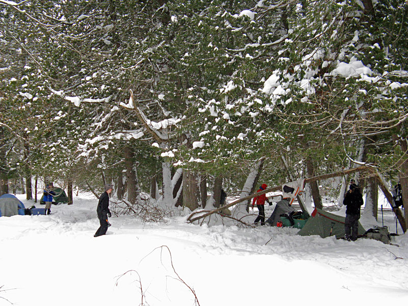 |
| The campsite under some nice big cedar trees. Photo by J.V. |
|
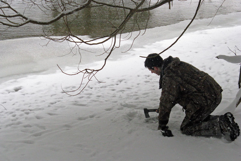 |
| Instead of melting snow we were able to boil water right from the river, saving time and fuel. The ice was about 4 inches thick right up by the shore. Photo by J.V.
|
|
 |
| After setting up camp and eating lunch we set out to see the rest of the trail. |
|
 |
| At times the actual trail was again hard to find. |
|
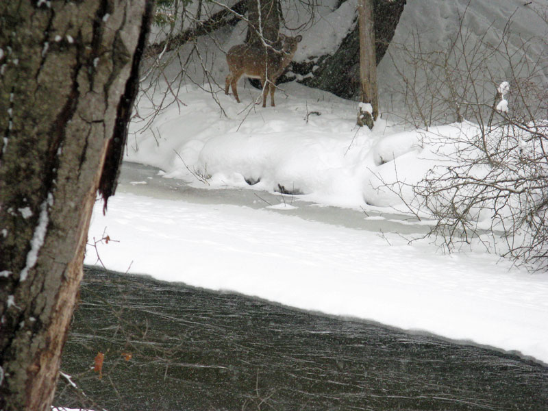 |
| A whitetail on the other side of the river. All along the way you could see where the deer were coming down to the river to drink and eat the Hemlock and Cedar trees. Photo by J.V. |
|
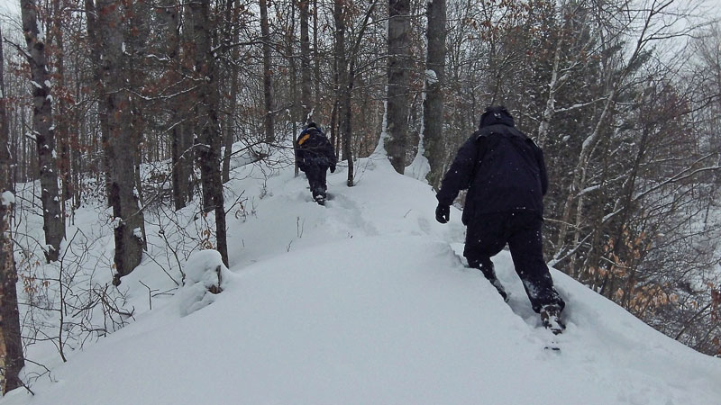 |
| Just before Lincoln Bridge there is another big climb. |
|
 |
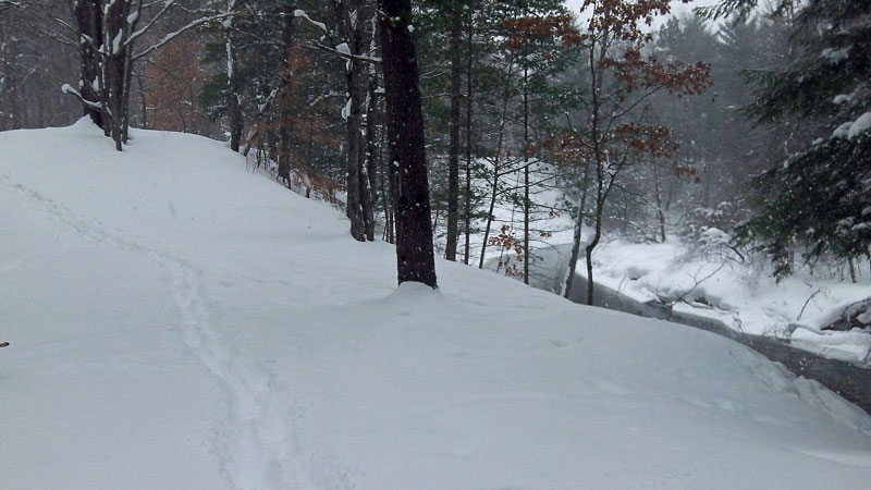
| Topping out high up on the bluff above a horseshoe bend in the Pine River. |
|
 |
| The snow was nearly knee deep even with snowshoes....This seems like an appropriate place to thank Wild-K for breaking most of the trail for us.
|
|
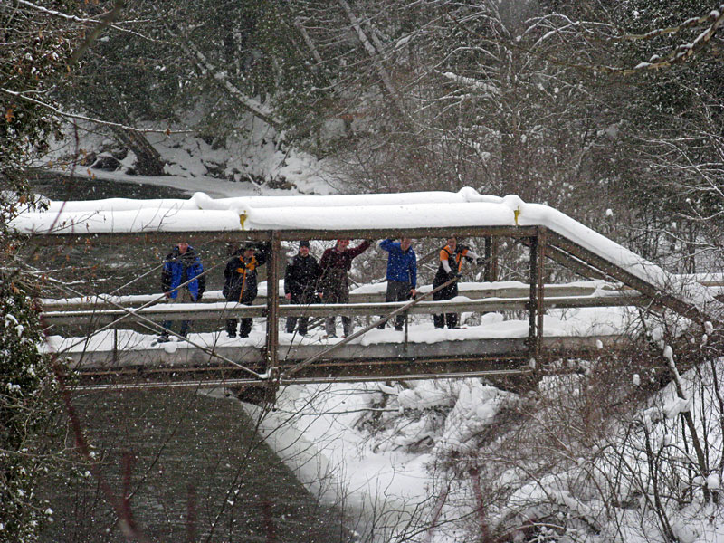 |
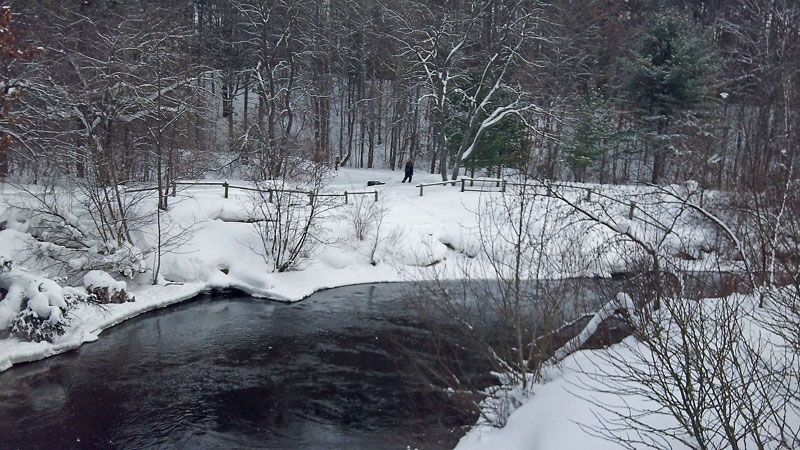
| Crossing Lincoln Bridge. Photo by J.D.V. |
|
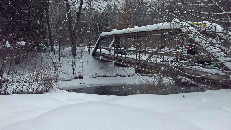 |
| Lincoln Bridge is also used to connect the area snowmobile trails. There were at least 20 sleds that went past while we took a break here. A Bald Eagle also flew past above the river. |
|
 |
| We planned to do the 4 mile loop, but at Lincoln Bridge we decided it would be best to turn around and head back to camp the way that we came. With the all the snow and a trail that was hard to find at times we may not have made it back before dark if we had continued on the loop. I think we were all surprised how much work it was walking even without a load. |
|
 |
| It was a nice and easy walking back on the packed trail. |
|
 |
Marching back into camp.
|
|
 |
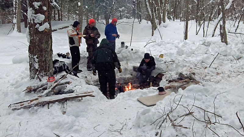
| Getting the fire going and the wood pile stocked for the night. The snow was almost 4 feet deep here so we dug out a nice bench around the fire. Photo by J.V. |
|
|
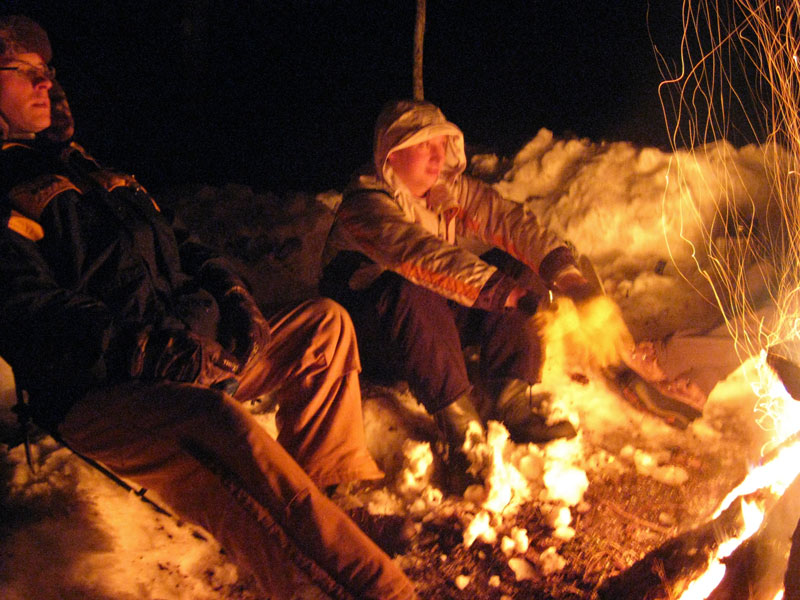
| It snowed most of the day and then let up just in time for dinner and the campfire. I think most of the wood near camp was Cedar. It smelled good burning, but also popped a lot and keep us dancing around most of night dodging hot embers flying from the fire. Photo by J.V. |
|
 |
| The night was calm and quiet. It was one of those nights in the tent where it was so still that it seemed like you heard everything. It started with a visit by a couple owls and then a deer blowing at us. Later in the night the ice started breaking up on the river. There must have been an ice dam forming up stream because in the morning the water was at least a foot lower. Above you can see across the river where the ice was breaking and falling in. The hole where we were getting water was now under water. |
|
 |
| Warming up and eating breakfast around the fire. Thanks to the guys for sharing the supreme bacon, egg and sausage scramble that they packed in. It was awesome and much better than the granola bars and coffee that I was planning on.
|
|
 |
| After breakfast we packed up and headed back to the trucks. It was a nice easy walk back on the trail that we had stomped down the day before. |
|
 |
| The only interesting part on the way back was pulling the sled back up the steep hill. I had to keep one snowshoe off to the side of the trail in the deep snow to keep for sliding backwards. Photo by B.R. |
|
 |
| The sun even came out for a few minutes on the hike back. |
|
 |
| Crossing back over Silver Creek Bridge to the campground. |
|
 |
| Back to the trailhead. According to the sign in the background the Silver Creek Bridge was "donated to the Department of Natural Resources for you enjoyment by the Waterfront Resort Hotel and Conference Center of Traverse City, Michigan" in 1988. |
|
|
 |
| Hiking back through the Silver Creek Campground. Just before I got back to the truck another Bald Eagle flew over. It was the perfect end to a good winter camping trip. |
|
|
|
<< Back to Our Home Page
|
|
|
|
|
|
|
| |