Porcupine Mountains Wilderness State Park - Page 2
 
  Home     Day Trips     Hikes    Bike Trails    More    Books    About  

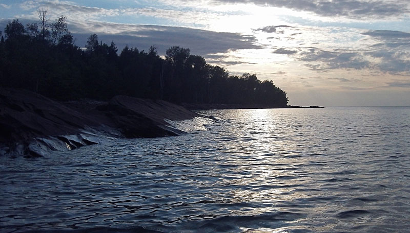
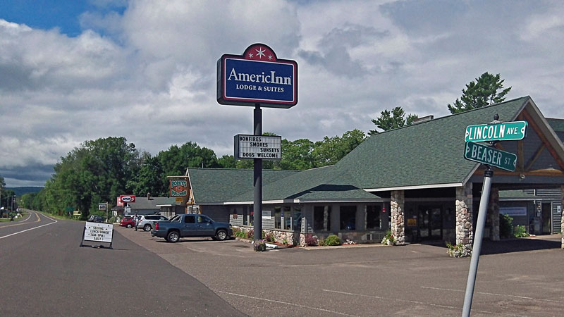
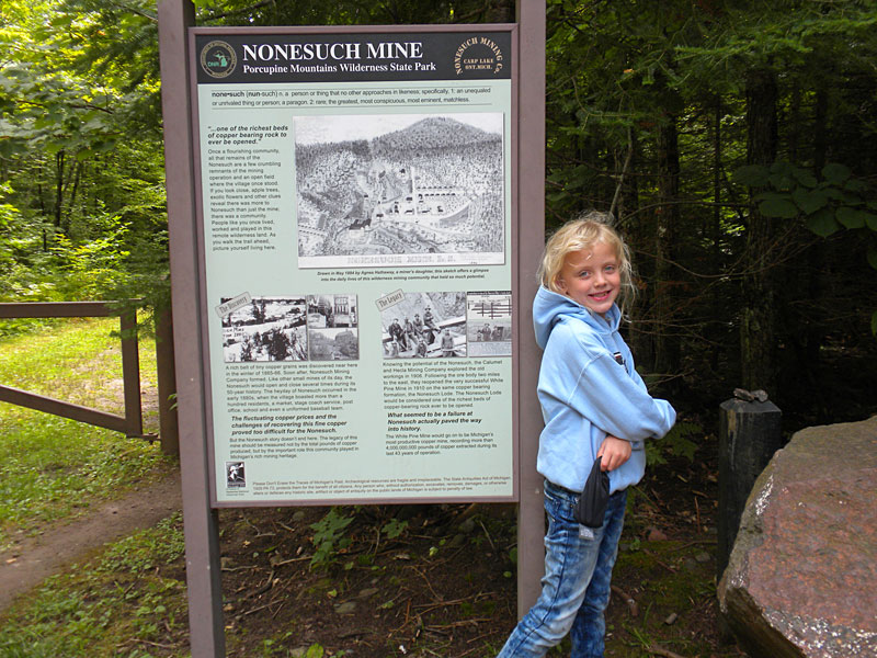
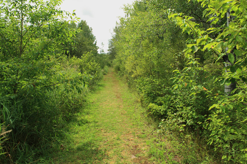
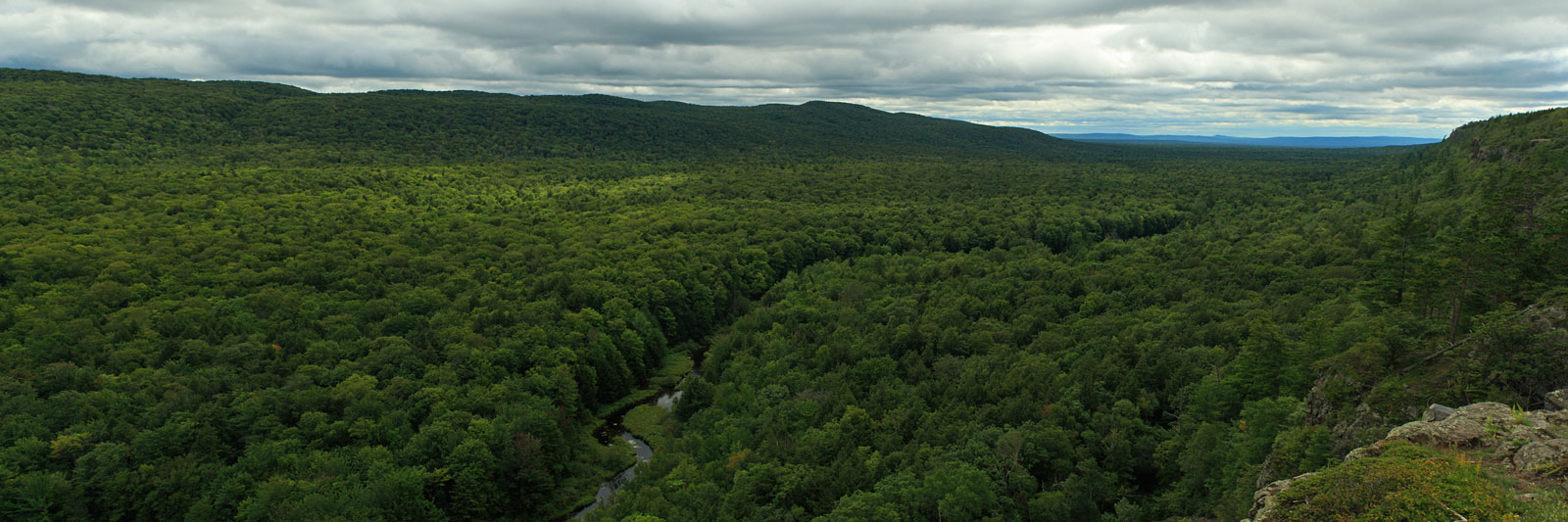
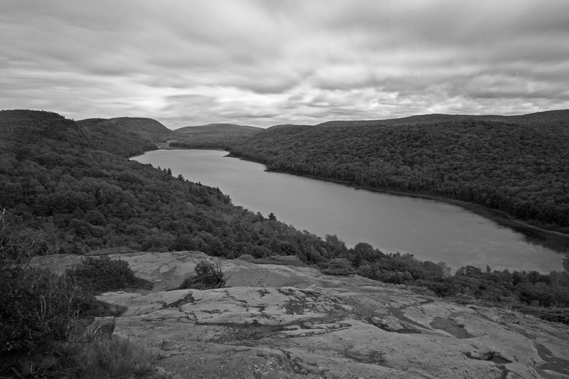
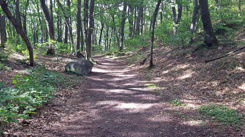
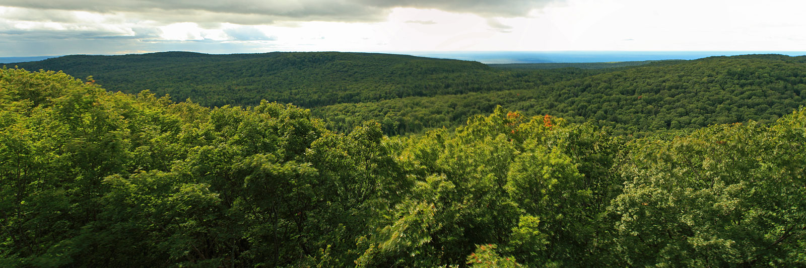
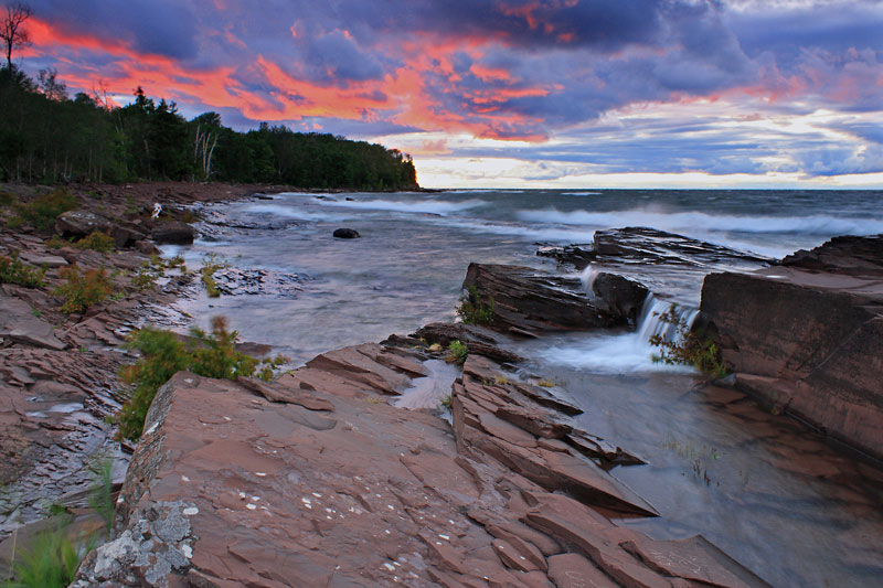
Camping at Porcupine Mountains Wilderness State Park - Page 2 - August 13 -17, 2012

Trip Highlights Page 2 - Click to jump to that section
Kayaking by the Union Bay Campground
The Nonesuch Mine and Falls
The Summit Peak Overlook


Kayaking by the Union Bay Campground:
kayaking from the union bay campground in porcupine mountians
After dinner we walked down to the Lake. It was the calmest we had seen Lake Superior on this trip so I went back and got the kayak ready for an evening paddle.
lake superior cliffs leaving from union bay
Heading out around the corner from the campground.
kayaking in the porcupine mountians
One of the low cliff sections near the campground.
rocky lake superior shoreline
Most of the shoreline here is low red slabs of rock.
paddling into the setting sun in porcupine mountians state park
Paddling out into the setting sun.

Unfortunately the Porcupine Mountains State Park has very limited access for paddlers. You can put in at one of the Union Bay beach picnic areas off from M-107 on the way into the park or from the access next to site #29 in the campground. Heading west from here it is mile after mile of undeveloped shore with only a few wilderness cabins being the only sign of civilization. Someday we may have to come back for a cabin to cabin kayaking trip.


smores in the porkies
A new family camping tradition was born on this trip: "Awkward S'mores" Regan originally meant to say unusual, but now awkward is the name that has stuck.
americ inn in silver city michigan
The next morning was cloudy with light rain. This was okay because we needed to drive over to the grocery store in Ontonagon to get supplies for the rest of the trip. On the way out stopped at the Porcupine Mountains Visitor Center to check out the displays and take advantage of the free WiFi access. After shopping we looked for a place to eat lunch in Ontonagon, but nothing looking real interesting so we headed back to the AmericInn in Silver City. We were the only ones in the restaurant, which was a little strange, but the food was good and the hotel overall seemed pretty nice.
The Nonesuch Mine and Falls:
the nonesuch mine and falls
The weather was looking better by afternoon and while Reid napped the girls and I went to visit the Nonesuch Mine ruins and waterfall. The Nonesuch Mine was opened in 1866 and was given this name because it was thought to be "...One of the richest beds of copper bearing rock ever to be opened." At it's peak the town grew to a population of almost 300. However, over the years the mine was closed and reopened several times as it changed owners. In the end the copper here ended up being too costly to extract and the mine closed for good in 1913. Costing all of the different owners large financial losses.

Source: Fort Wilkins Natural History Association.

the nonesuch trail
From the small parking lot off from South Boundary road it is about a 1/2 mile walk down a wide trail that was ounce the road to the town of Nonesuch.
the nonesuch mine shaft
One of the abandon mine shafts.
stone wall remains of the nonesuch mine
Stone walls that are left from the mining operation.
the nonesuch falls with very little water
Just past the old mining area is the Little Iron River and the Nonesuch Falls. Unfortunately at this time of the season the falls were just couple small trickles running down the rock face.
looking down the nonesuch falls
With the low water levels we were able to climb around on the rocks. This is looking down stream from above the falls.
the big carp river valley
After hiking back from the Nonesuch Falls we drove back up to the Lake of the Clouds Overlook one more time.

Click here to see the larger version.

black and white shot of the lake of the clouds
I was hoping to get a few shots with the sun breaking through the clouds and hitting the lake, but it just was not happening. I decided to try few a long exposure back and whites instead.
Summit Park Overlook:
the wide path to the top of summit peak in the porkies
The sky cleared again in the late afternoon so we drove over to the Summit Peak Area. It is a wide 1/2 mile trail that makes a steady climb up to the two Summit Peak overlooks.
windy at the top of summit peak
Reesey striking a pose in the wind on the deck at the first overlook.
panoramic view from the summit peak overlook
The view of the sea of trees from the first overlook.

Click here to see the larger version.

the stairs to the lookout tower
From the first overlook it is just a short walk up the stairs and decking to the tower at the second overlook.
the lookout tower at the top of summit peak
Getting ready to climb the tower. Reid was pretty excited by the strong wind at the top of the tower and kept jumping up and down in the backpack so I wasn't able to get any good shots of the view. By the time we walked back down to the truck it was starting to sprinkle again. We decided that we would rather not cook and eat under the awning so we stopped at the AmericInn for the second time in the day for a pizza. The pizza was also very good and the service was ounce again very friendly.


campfire at the union bay campgrouds
After dinner things quickly dried out again and we were able to have a campfire.
porcpine mountians sunset
Later in the evening we were treated to the best sunset of the trip.
porcupine mountains sunset 2
A little later on the same night I captured my favorite shot from the trip.

In the morning we packed up camp and headed back to the Bay Furnace Campground in Christmas, MI for our last stop of this trip. Click Below for photos from this great campground.

<<BACK TO PORKIES PAGE 1 | NEXT BAY FURNACE >>
Michigan Outdoor Guidebooks Used to Plan This Trip:
For more MI travel guides visit our: MI Adventure Guide Page >>
 
 
Advertising Disclosure: We may receive a commission if you click a link on our site and purchase one of the products or services that we recommend.
What your own website? We Recommend:
  ^ Go To Top ^  
Home | Day Trips | Hikes| Bike Trails | More | MI Guide Books | About | Copyright © 2007-2015
Shop Campmor for Your Quickest Link to the Outdoors