Trip Highlights - Click to jump to that section
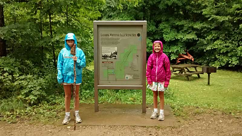
Laughing Whitefish Falls Scenic Site
Miners Falls and Miners Castle Pictured Rocks National Lakeshore
Mountain Biking the Marquette South Trails
Biking from the Tourist Park to Downtown Marquette
|
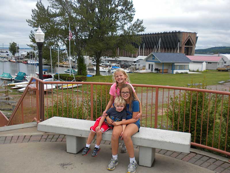
Laughing Whitefish Falls Scenic Site |
 |
| The next morning it was still raining and we had already used up our rainy day activity list the day before. So I got out the guide books and smart phone and had to come up with another rain day plan.
The first thing on the agenda was Laughing Whitefish Scenic Site. Visiting the falls here has been on our to do list for a while, but the location is kind of in the middle of no where between Marquette and Munising. It is about a 50 minute drive from either city and it just has not worked into our plans the other times we have been in the area. However, since it was raining and we did not have much else to do a 50 minute drive didn't sound too bad on this day. |
|
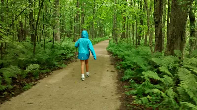 |
| To reach Laughing Whitefish Falls it is about a 0.6 mile hike down a wide gravel path that looked like it was recently improved.
If you have an umbrella or rain coat hiking to a waterfall in the rain is not a bad option. Unless it is coming down really hard, the rain doesn't really obstruct the view of the falls and it can even help bring out the color of the surrounding rocks. |
|
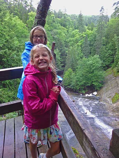 |
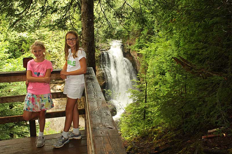
| The trail ends at a deck overlooking the top of the falls. |
|
 |
| From the top viewing deck there are stairs that take you down along the left side of the falls to the bottom of the gorge. |
|
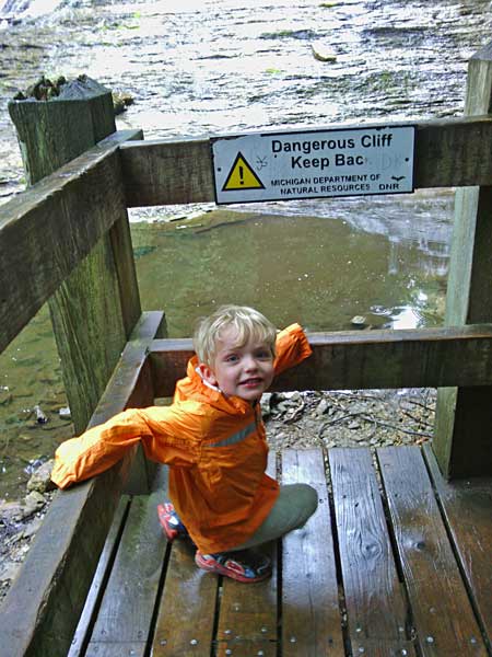 |
| Reid at the bottom of the falls. The wet steps were pretty slippery so we had to take our time on the way down. |
|
 |
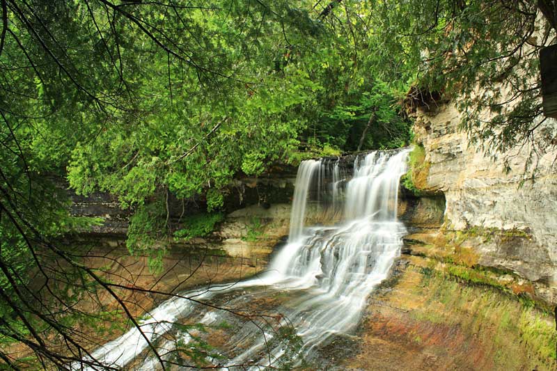
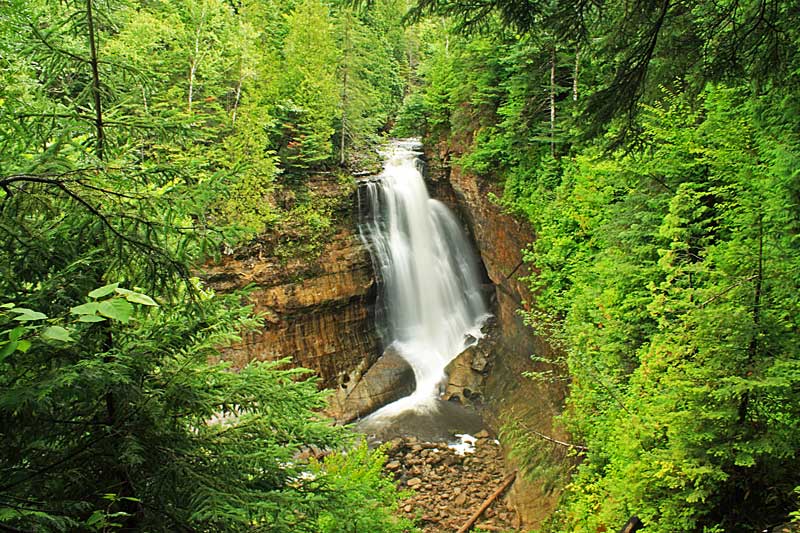
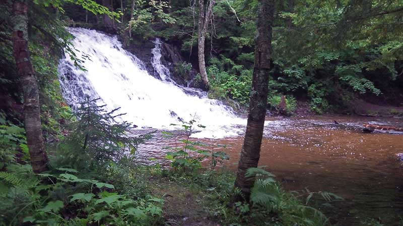
| I have read that when the water is high, Laughing Whitefish Falls is considered one of the most spectacular cascades in Michigan. Dropping 100 feet it is the 4th highest waterfall in the state. According to Gowaterfalling.com it is the tallest waterfall that can be easily visited. For a listing of all the waterfall heights in Michigan see the World Waterfall Database website.
As we were climbing back up to the top of the falls the rain started to let up and we could even take off our rain jackets for the hike back to the car. The next thing on the agenda was lunch so we drove to Munising and back into some more rain. |
|
 |
| While I was researching our plan for the day I came across High Fives which is a combination restaurant and bowling lanes. We thought we had the perfect plan for a rainy afternoon with food and a round of bowling all at the same place. However, when we walked into High Fives just after noon they informed us that the kitchen would not open for another couple hours. Our backup plan was Johnny Dogs which is a small hotdog stand that seems to be a local favorite. Although, when we found them we saw that they only have outdoor seating. It was covered, but everyone looked pretty damp and cold sitting out there eating in the rain.
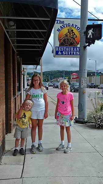
We finally ended up at the Navigator Restaurant which is located right near the tour boat docks. The Navigator has mixed reviews, but we thought the food and service were both pretty good. The menu is typical bar and grill food. However, they did have pasties so Regan went for her second one is as many days. If you are paying close attention you will notice that the photo above was taken later in the day after the weather cleared. |
|
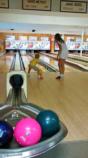 |
| After lunch we walked across the street and back to High Fives for a round of bowling.
This was Reid's first time and it took a while for the ball to get to the pins, but he was having a great time. The best part was about half way through our game we looked back out the windows and the sun was coming out.
Walking back to the car after bowling we found that the weather had gone from cool and wet to hot and steamy.
|
|
| Miners Falls and Miners Castle Pictured Rocks |
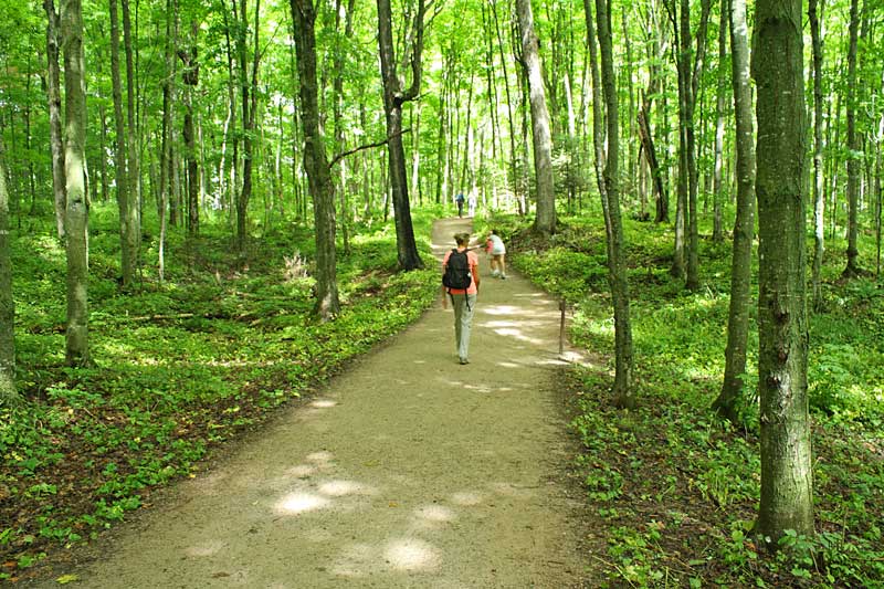 |
| Next we drove to Pictured Rocks National Lakeshore to see Miners Falls. The trail to the falls here is very similar to the walk to Laughing Whitefish Falls. It is also a wide gravel path that is 0.6 miles long. Everyone must have been excited to see the weather finally break after a couple days of rain because the parking area was packed and the trail was the busiest we had ever seen it.
|
|
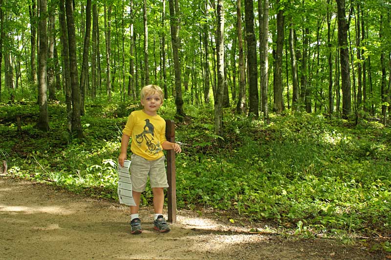 |
| Reid's favorite trails are interpretive with numbered posts to find along the way. |
|
 |
| We had to wait in a line on the steps for our turn at a picture on the small overlook deck. |
|
 |
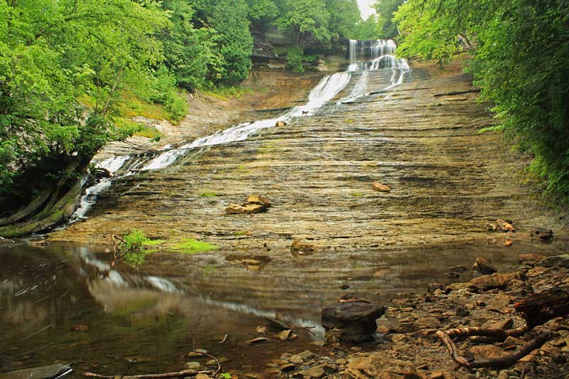
| Miners Falls is about 40 feet tall and it has always had pretty good flow every time we have visited it. |
|
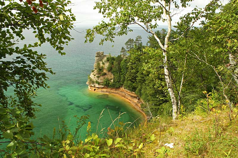 |
| After hiking back from the falls we figured that since we were already in the area we should make a stop at the Miners Castle before heading back to Marquette. |
|
 |
| Everyone one else was getting tired so just Regan and I walked down the short trail to the viewing deck on top of Miners Castle. It is hard to see in the photo, but there was a bald eagle roosting in a tree along the path. |
|
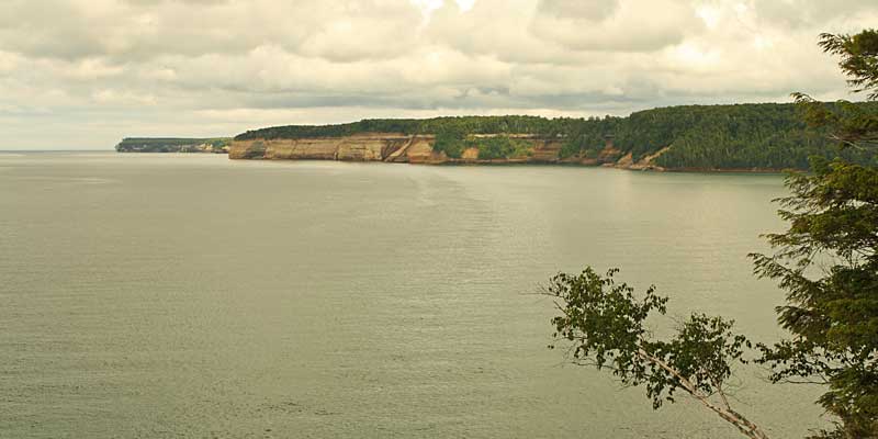 |
| Looking out towards the Pictured Rocks cliffs from Miners Castle. |
|
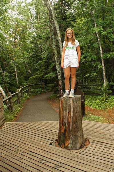  |
| Regan trying to recreate the photo memories from 5 years prior. |
|
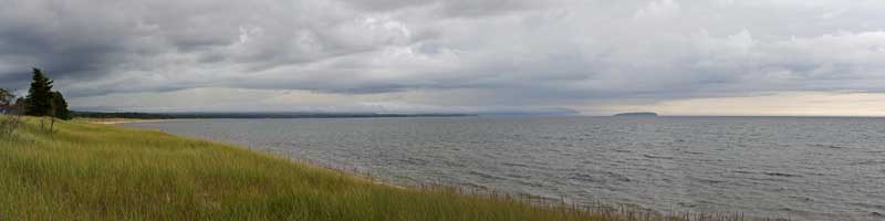 |
| On the drive back to Marquette we encountered another storm moving in from the west.
We didn't really want to spend the whole night in the camper again so we detoured to Buffalo Wild Wings on our way back to the campground. We usually try to avoid chain restaurants when traveling, but in this case we decided eating wings and watching the Tigers game would be a good way to kill part of the evening.
|
|
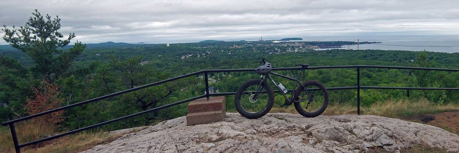
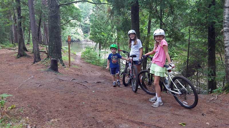
| Mountain Biking the Marquette South Trails |
|
| Things finally dried out by the next afternoon. Mom and the kids went for a bike ride on the City Multi Use Path from the Tourist Park to downtown and I went back to ride more of the South Mountain Bike Trails.
I again rode down the Gorge-ous Trail, but this time I toke the bridge over the Carp River and continued on the yellow trail to the top of Marquette Mountain Ski Area. After riding down the ski hill I crossed the road and took the new Carp Eh Diem or green trail to Morgan Creek Falls. (This is the section shown in the video above) From here I looped back to the trailhead on the yellow trails named Pipe Dreams and Off Grade. This made for a fun and challenging ride of about 9.5 miles. The trails up here are mostly rock and sand so even after a couple days of rain they were in really good shape. |
|
 |
| Stopping to see Morgan Creek Falls on the Carp Eh Diem Trail. |
|
|
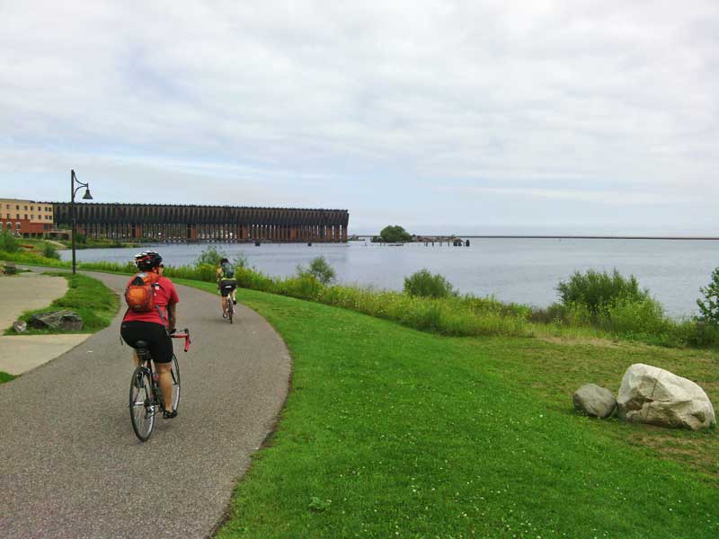
| Biking from the Tourist Park to Downtown Marquette |
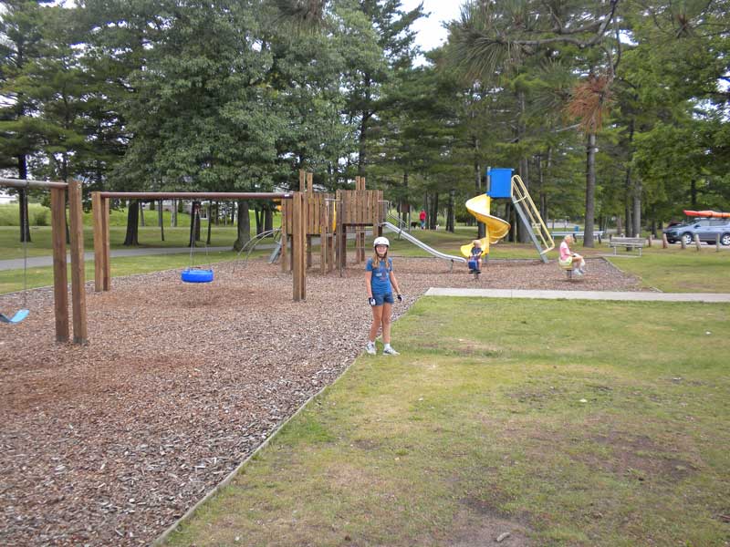 |
| It is about a 3.5 mile ride on the Marquette City Multi Use Path to get to downtown from the Tourist Park. With most of the path running right along the lakeshore it is a nice and scenic ride. There are 2 different parks with playgrounds along the route. The kids were excited that mom let them play at them both. Their first stop was at Shiras Park. It is right on the water with a nice sandy beach and a view of the Picnic Rocks off shore. |
|
 |
| It is always a good idea to keep your helmet on for safety at the park. |
|
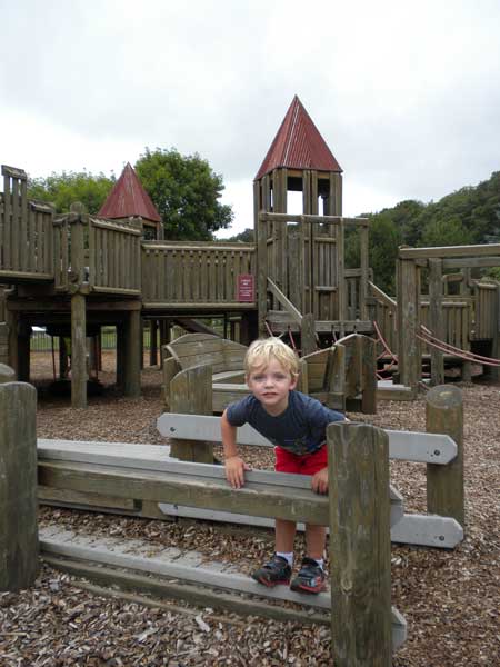 |
| The next stop on the route was Lower Harbor Park. This nice waterfront park has a big wooden play structure and a concession with ice cream and restrooms. |
|
 |
| Resting along the path that connects Lower Harbor Park to downtown. |
|
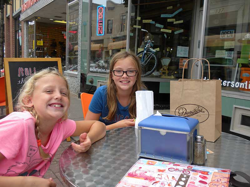 |
| Their last stop on the bike trip was another visit to Doncker's for more candy. |
|
 |
|
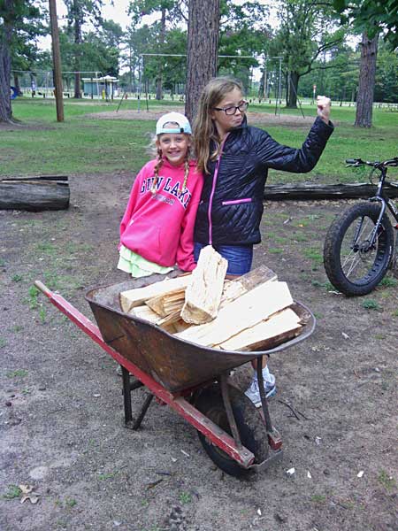
The girls bringing back a load of wood from the campground office.
We spent the rest of the evening grilling and relaxing by a nice big fire. It felt really good to be back outside for the night.
|
|
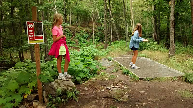 |
| The next morning we walked across Big Bay Road to the disc golf course at River Park. It was a fun course that is well marked with more elevation change than we are used to playing back home. It was also nice that they had shorter tees for the girls. Another bonus were the Thimbleberries we found to snack on along a few of the holes. |
|
 |
| In the afternoon we decided to drop our van off at to shop right near the Tourist Park because the AC went out on the way up. We were leaving and heading back south the next morning and the forecast was for hot and humid weather for the weekend. With only a few windows that can open in the back of the van it gets warm in a hurry without the air working. This meant that the rest of the afternoon our main mode of transportation would be our bikes. The kids and I went to check out some of the trails along the Dead River to the north of the campground while Mom got to go out on her road bike.
The North Trails are less technical with nice views of the river and some interesting rocky cliffs that I did not expect to find over here. For the most part they were good for the kids with just a few places that they had to get off and walk.
Marquette North Trails Map >> |
|
|
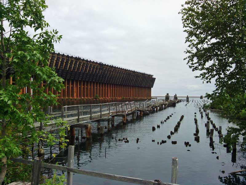 |
| The view of the old ore dock and pilings from the bike path. |
|
 |
| They did not have our van fixed by closing time so we were stuck at the campground for the evening. It was another night of relaxing and quality family time around the fire. Our departure the next morning was delayed by a few hours while we waited for our vehicle to be done. Around 11 am we got the call that it was ready so Regan on biked over to pick it up. We had to run into town to fill up on gas and since Jean Kay's is right there, we grabbed a bag of pasties for lunch. I figured everyone would already be getting hungry and I didn't want to have to stop as soon as we started driving. Finally, just after noon we had the camper hooked up and were headed down the road toward Petoskey State Park.
Unfortunately the weather and getting our vehicle repaired kept us from doing everything we had planned to do in Marquette. Someday I would still like to paddle around Presque Isle Park and jump in from the Black Rocks Cliffs. There are also several bike and hiking trails north of town that are still on the list including the climb to the top of Hogback Mountain. Then there is the beach at Little Presque Isle and....I guess we need to plan another visit. If you like being outside you will find plenty to do in Marquette.
|
|
|
Our Next Stop at Petoskey State Park >>
<< Back to Marquette Page 1 | Our Home Page >>
|
|
|
|
|
| Our Favorites From This Trip: |
GoPro Hero Camera
I have had my GoPro camera for a couple years now and we are still finding new ways to use it to document and share our adventures. It is easy to use and the photo and video quality has been surprisingly good.
Connecting to the GoPro using the smart phone app and the camera's built in Wi-Fi is a really nice feature that allows you to control the camera, change settings and view your videos. The app also has a live view feature that lets you view what the camera sees on the screen of your smart phone. I have found this very useful for framing shots because there is not a screen or view finder on the camera.
Click here to find GoPro cameras on Amazon >> |
 |
| Also see our Michigan Adventure Guidebook Page >> |
|
| |