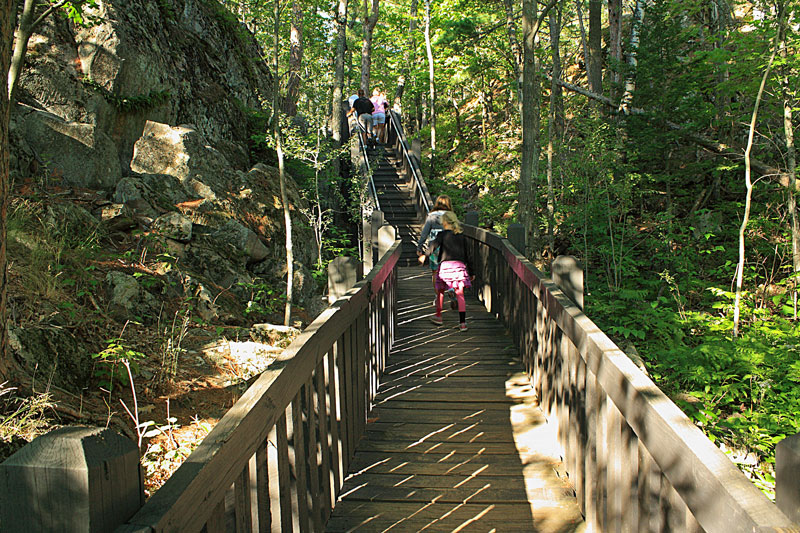
Everyone's legs were tired from our morning hike along Lake Superior, but after dinner we decided to try the short climb to the top of Sugarloaf Mountain. From the parking lot there are 2 routes to choose from. We took the easy route to the right which loops around the side of the Sugarloaf Mountain on the way to the top. The more difficult route looked a little too steep and rocky for the kids.
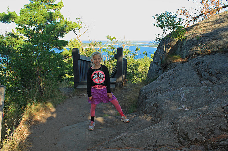
Reesey happy to be at the top. As you can see we let them choose their own clothes when we are camping. Thanks Grandma and Justice.
The easy route is just over a 1/2 mile long with several sections of wooden stairs. The kids counted 305 steps on the way to the top.
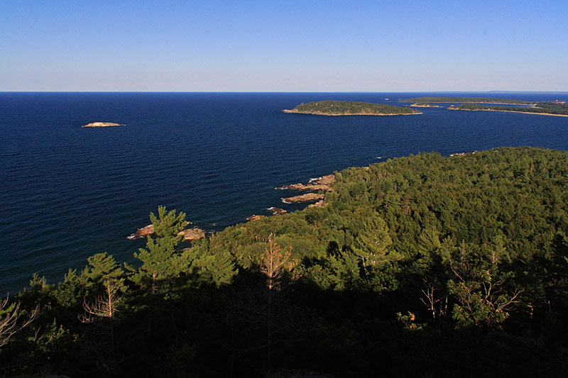
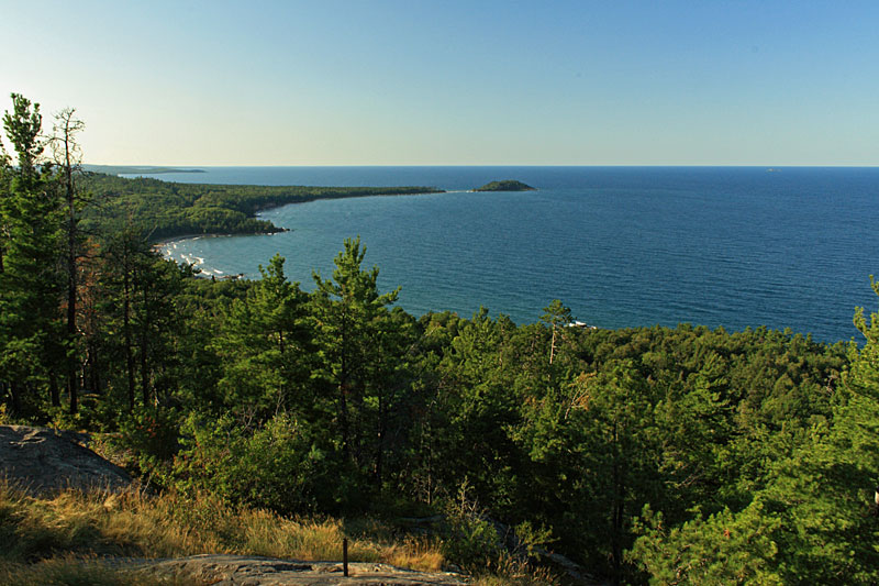
The rocky summit of Sugarloaf Mountain is about 470 feet above Lake Superior.
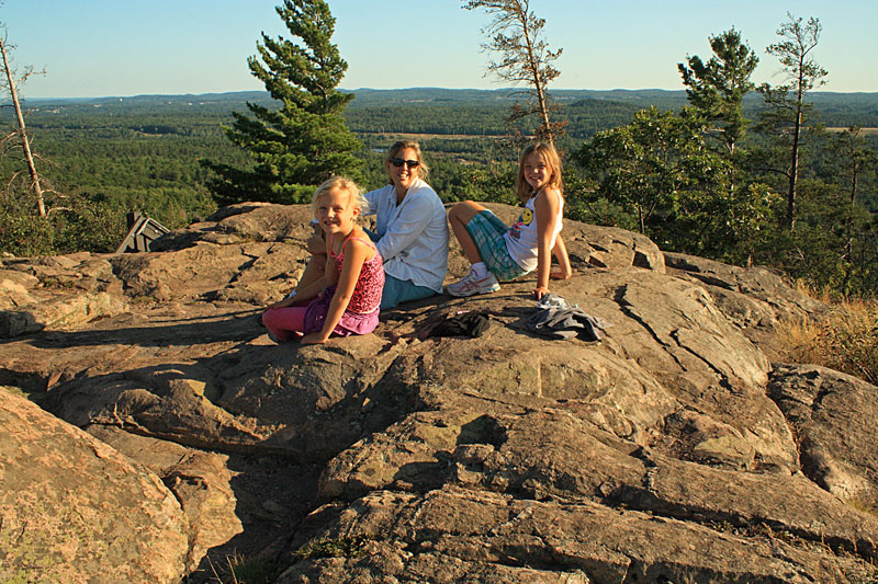
Resting on the warm rocks and enjoying the panoramic view of the rugged Lake Superior shoreline.
Looking north along the shoreline to Little Presque Isle. This is the same section that we hiked earlier in the day.
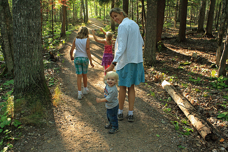
Reid happy to out of the back carrier and walking the last section on the way back to the parking area. I just happened to catch Reese telling Regan about the emergency stop that she had to make behind a tree back along the trail. After all the walking everyone was ready for their sleeping bags early on this night.
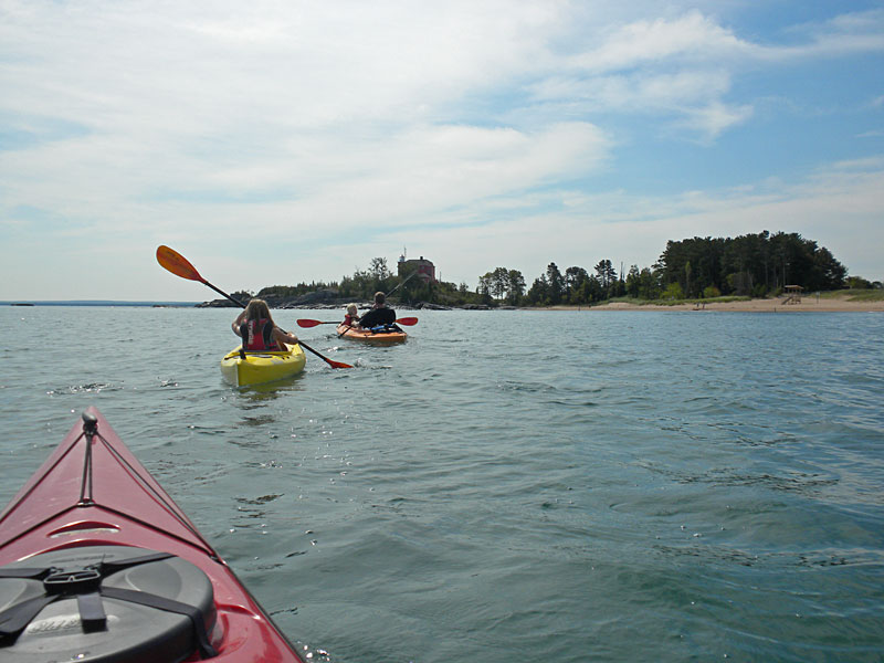
Kayaking from Picnic Rocks Park to the Marquette Lighthouse:
After two windy days Sunday morning was finally calm and sunny. We loaded up the kayaks and headed down to Picnic Rocks park to paddle along the shore to the Marquette Lighthouse.
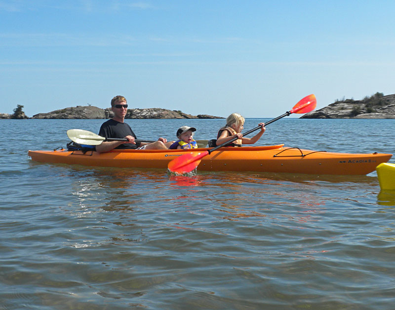
Loaded up and launching with the Picnic Rocks in the background.
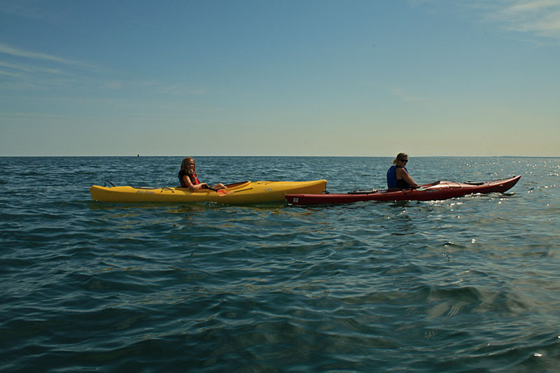
The girls floating on the beautiful blue Lake Superior water.
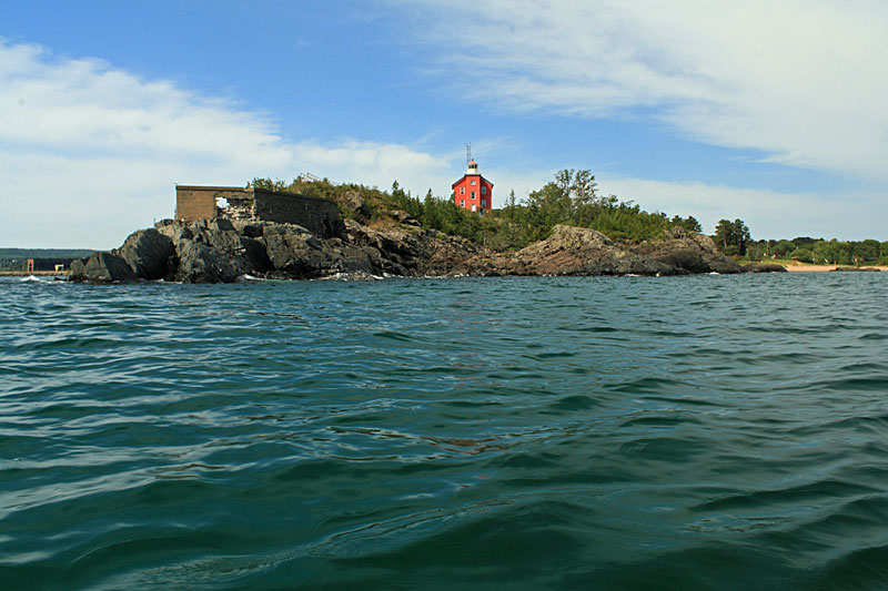
Our fleet approaching the Marquette Lighthouse.
It is an easy 3/4 of a mile paddle from Picnic Rocks to the lighthouse. Almost the entire way the shore is soft sand. This would also make for a nice beach walk. Really the only hazards for paddlers in this area are the rocks around the lighthouse. On our previous visit it looked like the currents between the Picnic Rock islands and shore could also make for some interesting paddling when the wind picks up from the north.
The red lighthouse sits on a small rock peninsula jutting out into Lake Superior.
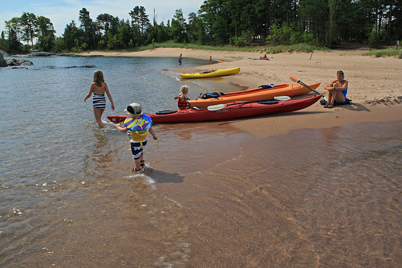
After exploring the rocks around the lighthouse we pulled the kayaks up on the beach in McCarty Cove and let the kids play in the water.
Reesey was a little surprised by how cold the water was.
After paddling back we were ready for lunch. We found it a little strange that "Picnic" Rocks Park did not have any picnic tables. So sat and ate our sandwiches on the tailgate of the truck. There is still nothing better than waterfront dinning.
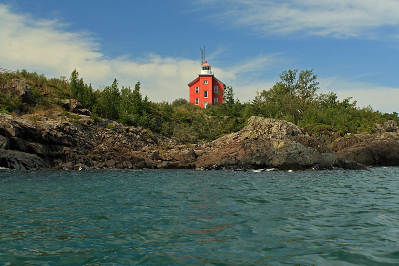
One more shot of the less photographed side of the Marquette Lighthouse.
Both of the following two books have a lot more information on kayaking in the Marquette Area.
Mom decided to let the girls pack themselves for this trip. However, after the incident on Sugarloaf Mountain the previous night we realized that Reese only packed two underwear for the 9 day trip. Good thing our first stop was in Marquette which is one of the few places in the U. P. that has stores like Walmart and Target.
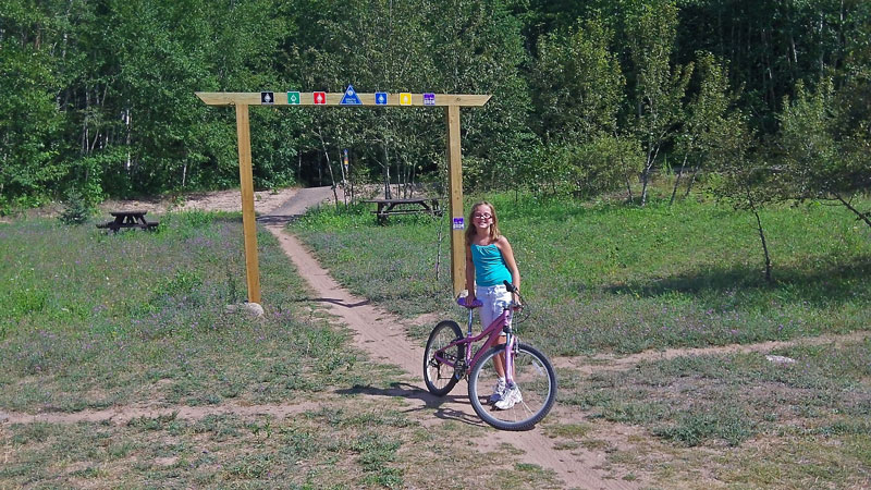
We planned to ride the Grom kids mountain bike trail in the afternoon, so Mom dropped us off at the south trailhead and went underwear shopping with her little buddy.
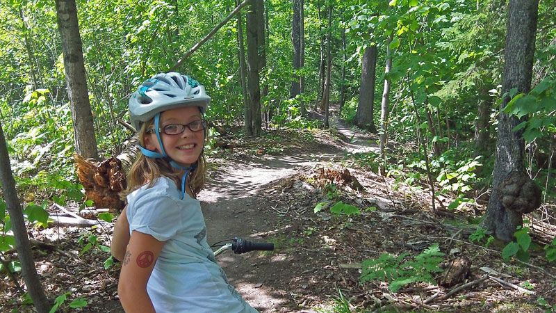
The Grom or purple trail is a 1.2 miles loop designed especially for kids and beginners. It looks like they put a lot of work into building this trail and it is really well done. The trail is smooth and free of all the rocks and roots that are common in this area. Do not be fooled by the beginner rating, this is a fun ride with small hills and flowing banked corners.
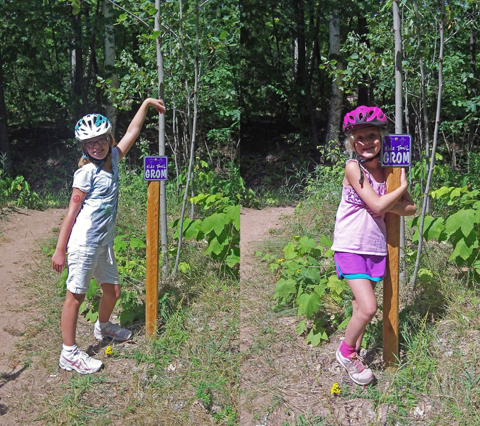
Taking a break to pose by the purple trail marker.
Most of the trail was wide enough that Reese and I didn't have too much of a problem navigating the tag-along around the loop. The only problem we had was one minor toe smash.
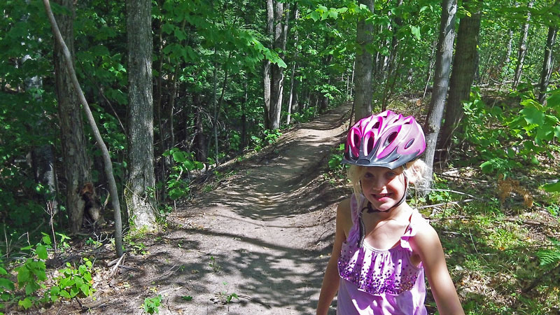
The girls had such good time that we went for a 2nd lap and then played on the balance beam and teeter totter at the trailhead while we waited for Mom to pick us up. Regan made it on her first try, but then when the camera was rolling she got scared went a little too slow.
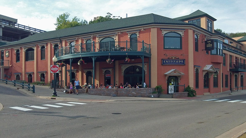
When we are in a new town looking for a place to eat we usually try to find an older historic restaurant. In Marquette this would be the Vierling Restaurant. With the bike race in town we decided it would best to wait until Sunday night to go out. Unfortunately we found out that the Vierling was closed on Sunday, so we walked down the hill to the L'Attitude Cafe and Bistro.
The L'Attitude ended up being very nice and the food and service was excellent. They have a patio with outdoor dinning, but after being outside for 3 days we decided to settle in to comfortable booth inside by a window with a view of the harbor.
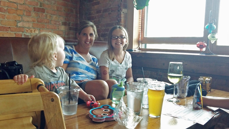
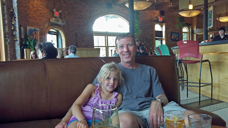
As you can see from the two photos above, the booths were actually big leather couches with a low wooden coffee table in between them. We were not sure how we would like eating like this, but it was actually not too bad and the kids thought it was great. With the brick interior and unique menu it felt more like we were dinning in a big city rather than Michigan's Upper Peninsula.
Give L'Attitude Cafe a try next time you are in Marquette, for us it was a pleasant surprise.
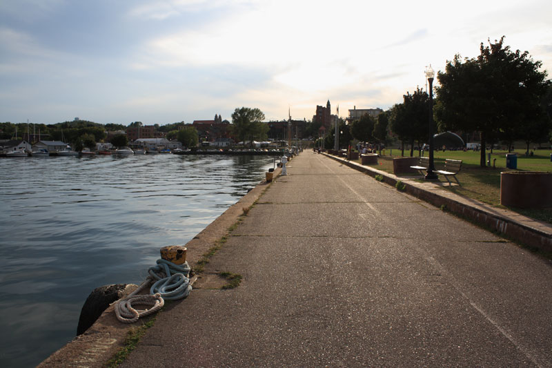
After dinner we walked across the street and down along the water.
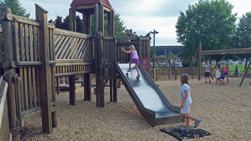
Down the on waterfront is Ellwood A. Mattson Lower Harbor Park. The park has a big open grass area with picnic tables and benches and of course a huge wooden play ground.
Next to the playground was a building with restrooms and an ice cream concession.
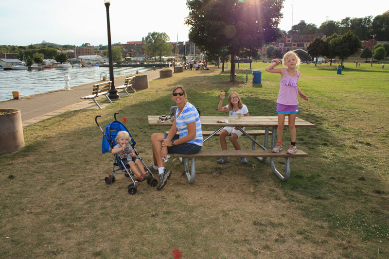
The lower harbor seemed like the place to be on Sunday nights. People were throwing around footballs and frisbees, kids were jumping in off from the breakwall and a band was setting up on the outdoor stage. As we were leaving even more people were rolling in carrying lawn chairs and six-packs. Too bad we had to get back to the campground and prepare for our morning departure to the Porcupine Mountains.
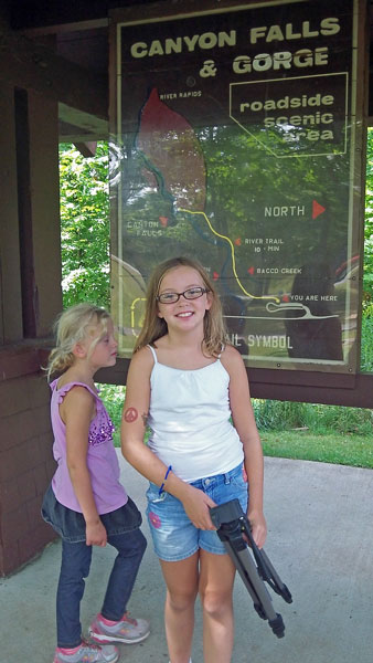
Canyon Falls and Gorge Roadside Park:
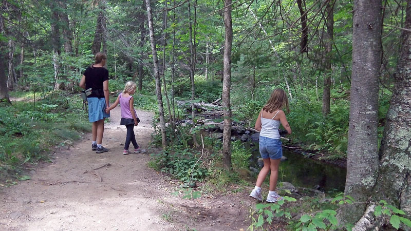
In the morning we left Marquette and headed on to the Porcupine Mountains Wilderness State Park. About half way there we made a stop for lunch at Canyon Falls Roadside Park.
After eating we followed the well beaten path down to see Canyon Falls.
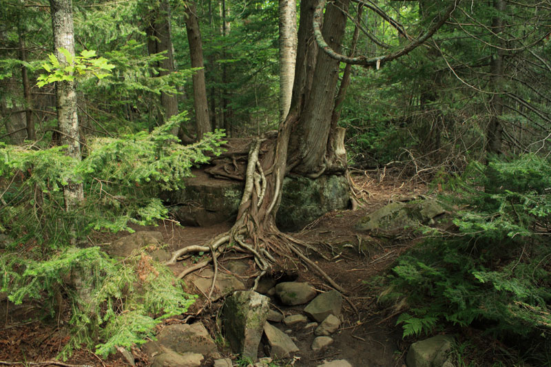
Some trees growing on top of a rock slab along the trail.
It is nice 0.5 mile hike to see the falls. About half way the trail starts to parallel the dark waters of the Sturgeon River. At high water times it looked like this would also be an interesting section of river to see.
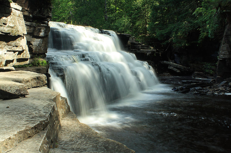
Canyon Falls is beautiful 15 to 20 foot high cascade over black rock shelves.
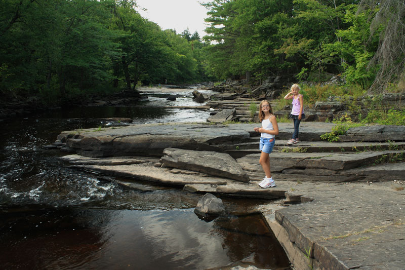
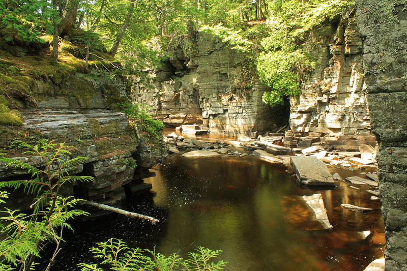
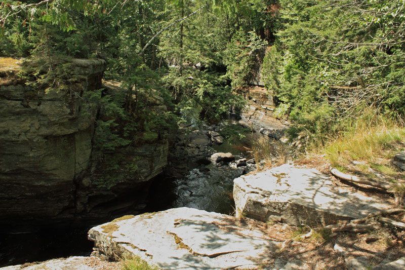
Right after the falls the Sturgeon River flows into the gorge that gives the falls it's name.
If you continue following the blue trail blazes past the falls overlook it goes right along edge of the gorge. Looking down the shear rocks walls is probably even more impressive than the falls. This section requires some careful hiking because there are several sections with large drop-offs right on the edge of the trail. Mom was squeezing the kids hands pretty tight through here.
From here it was on to our site at the Union Bay Campgrounds in Porcupine Mountains Wilderness State Park. Click below to see this next part of our U. P. trip: