It was about a 3.5 hour drive from Hartwick Pines State Park to our next stop at Fayette State Park where we planned to spend 2 nights. We arrived at our campsite by late afternoon and were settled in by dinner time.
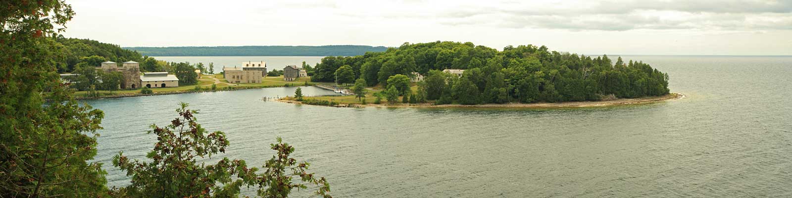
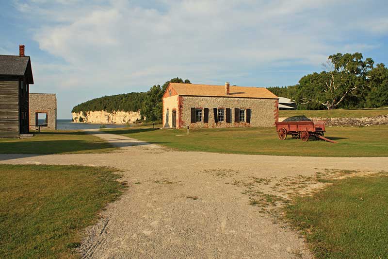
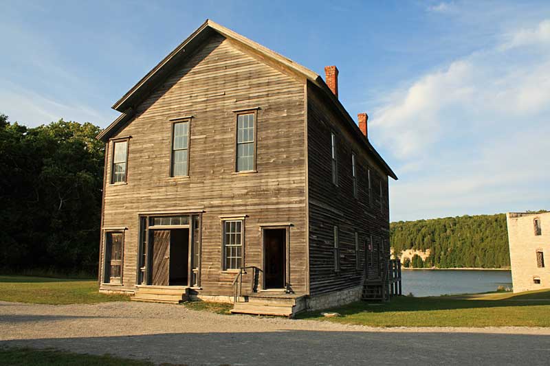
The main attraction of Fayette State Park is the Historic Fayette Townsite. The town was built to support 2 blast furnaces that were used for an iron smelting operation. The Jackson Iron Company chose this location because of the natural harbor and the proximity to the iron ore mines. This site also had the limestone and hardwood forests needed for the smelting process. By moving the smelting operation closer to the mines, the company removed the inefficiencies and high cost of transporting the ore which can be up to 50% waste material.
Fayette is said to be one of the most successful operations in Upper Michigan producing 230,000 tons of charcoal iron between 1867 and 1890. During this time the population grew to almost 500 residents. The smelting operations were closed in 1890 because of falling iron prices. After almost 150 years many of the buildings are still standing and many have been restored. Walking around the town gives you a unique look back at what life was like back durning the iron boom Northern Michigan.
|
| Fayette State Park Campground: |
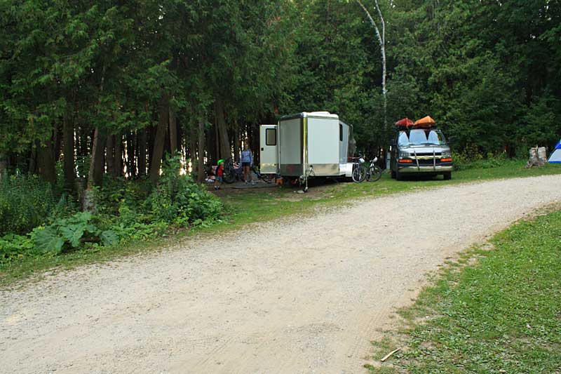 |
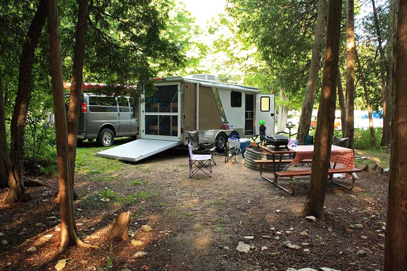
| We stayed in campsite 52. It was a smaller site on the outside corner of the third loop in the campground. The site sloped down in the front and it took us a couple tries to get the camper in a place where we could get it off the hitch and be fairly level. |
|
 |
| The view from the back of our campsite. |
|
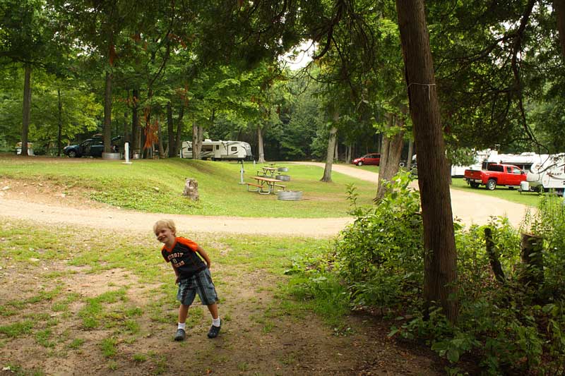 |
| Looking out towards the rest of the third loop. The campground at Fayette has 61 modern sites which in this case means there are electric hookups, but the restrooms are pit toilets located at the beginning of each loop. The sites on the outside of loops 1 and 3 are nice because they back up to the woods. The 3 sites at the end of each loop are the best because they give you some privacy and access to the lake. |
|
 |
| The path leading from the back of our site out to the beach on Big Bay De Noc. |
|
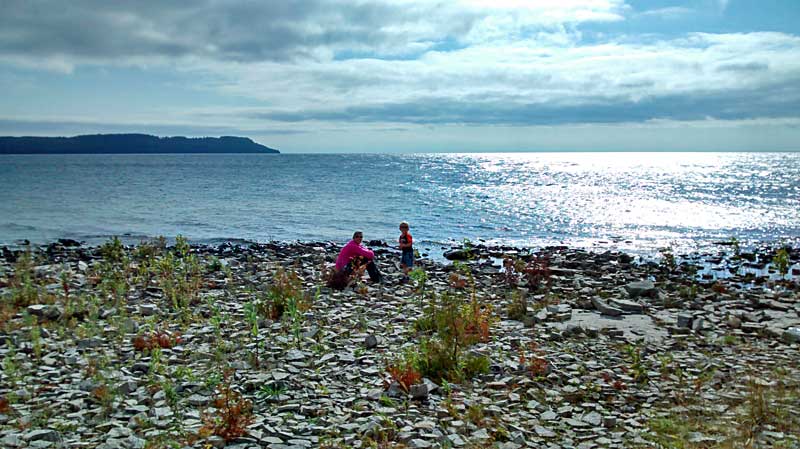 |
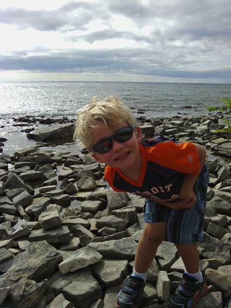
| Playing on the rocking beach by the campground. |
|
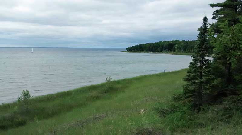 |
| Just to the south of the campground there is a boat launch and day use beach area on Sand Bay. The sandy bottom here is better for swimming and It is just a short walk or bike ride from the campground. However, with the rising lake levels there was currently little to no sand beach left here. |
|
|
| Fayette Historic Townsite: |
 |
| After dinner we rode our bikes over to see the Historic Fayette Townsite. It was good time to visit as we had the whole place almost all to ourselves. |
|
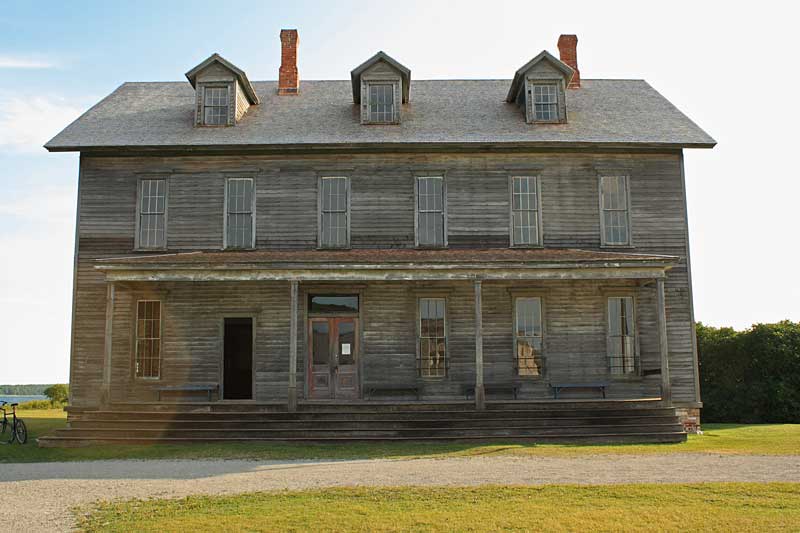 |
The Fayette Hotel.
The kids were disappointed that the famous 2 story outhouse is no longer standing behind the hotel. |
|
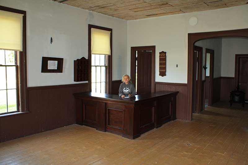 |
| The front desk. The hotel is still in fairly good shape. I think this is because after the smelting operation closed the area was still used as a vacation destination. |
|
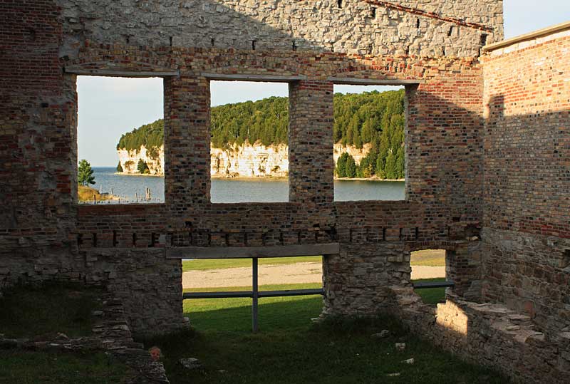 |
| My attempt at the famous Fayette State Park post card shot of the limestone cliffs through the ruins of the Company Store.
Instead of Where's Waldo we like to play Where's Reesey in this photo?
 |
|
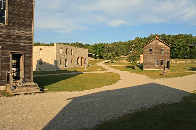 |
| The Company Store and Machine Shop buildings. |
|
 |
| The Town Hall. |
|
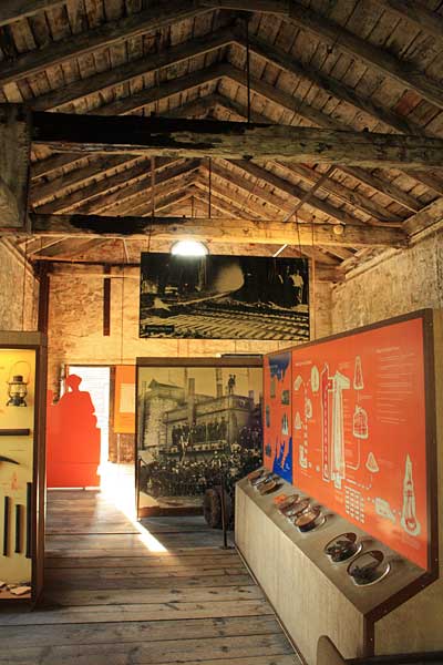 |
| The displays inside the Machine Shop building. |
|
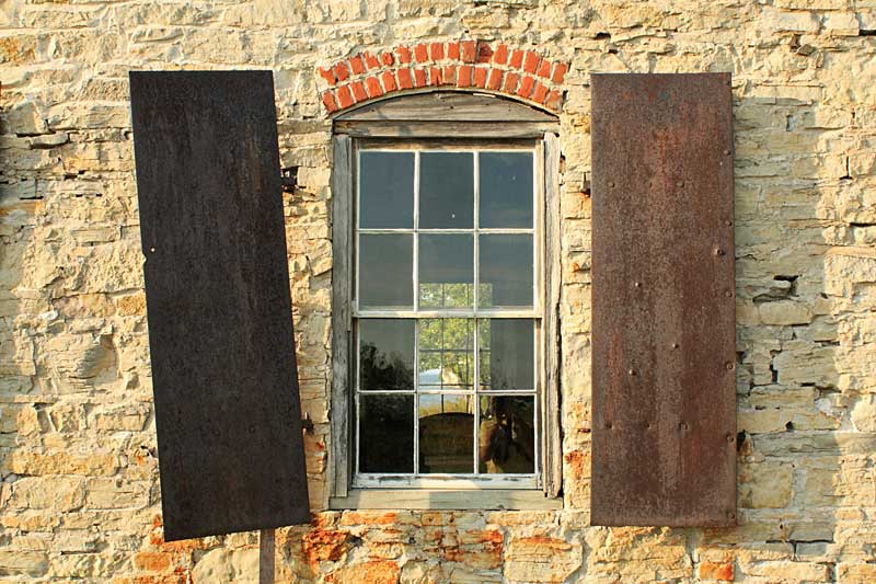 |
| The steel shutters on the outside of the Machine Shop. |
|
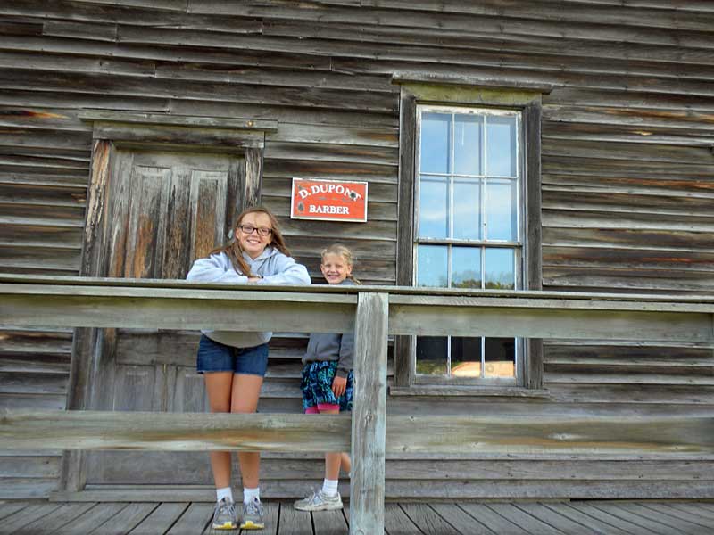 |
| Checking out the Barber Shop. |
|
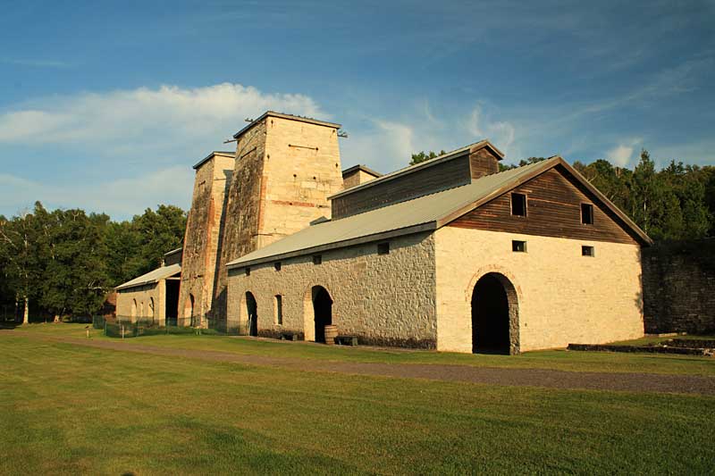 |
| The Fayette furnace building. |
|
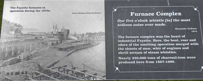 |
| A sign showing what the furnace building looked like during operation. |
|
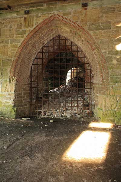 |
| Inside the furnace building. |
|
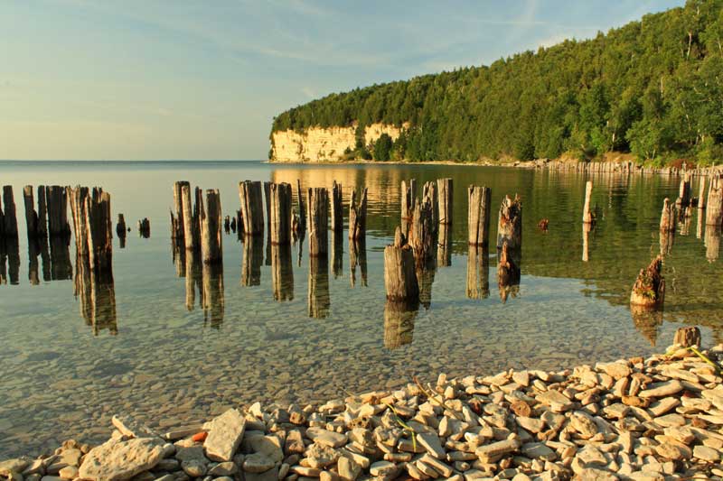 |
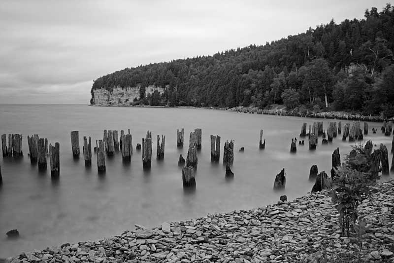
| The pilings from the docks that ounce lined Snail Shell Harbor. |
|
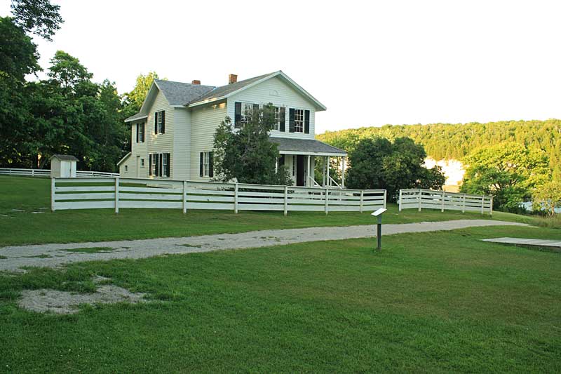 |
| After checking out the furnace building we biked out past the boats docked for the night to the end of the peninsula that makes the natural harbor. Up on the hill overlooking the harbor was the Superintendent's house. |
|
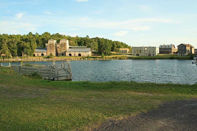 |
Looking back towards the Historic Townsite.
After this we biked back to the campsite for a relaxing night by the fire. |
|
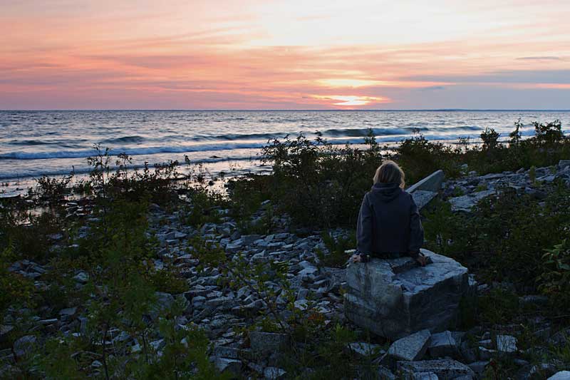 |
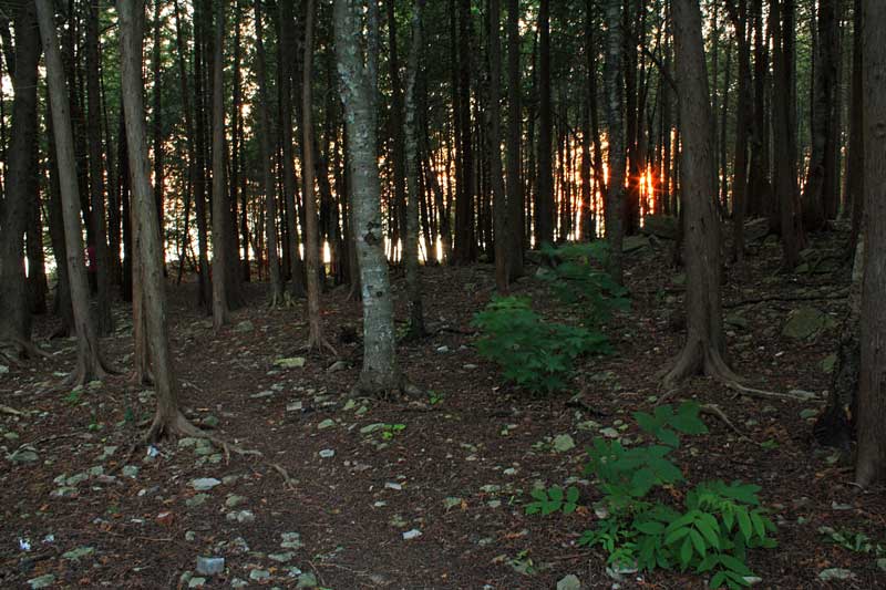
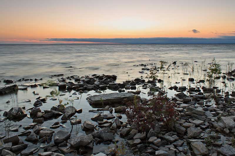
| Watching the sunset from the rocky beach back at our campsite.
|
|
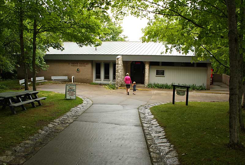 |
| It rained a little during the night and the next morning was damp and cloudy. After breakfast we drove over to visit the Fayette Historic State Park Visitor Center located on the hill above the townsite. |
|
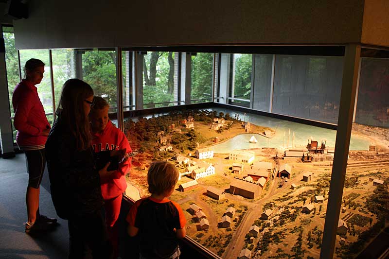 |
| The main attraction in the visitor center is a model of what the town of Fayette looked like back in 1886. The model has automated lighting and audio that tells you about what it was like to live and work in Fayette. The model is interesting and you should plan on stopping to see it before heading down to the townsite.
The visitor center has a store that sells ice cream, drinks and all the typical souvenirs. There are also modern restrooms that we all took advantage of so we could avoid at least one trip to the pit toilets in the campground. |
|
 |
| After the visitor center we went back down to see a few things that we missed the night before. |
|
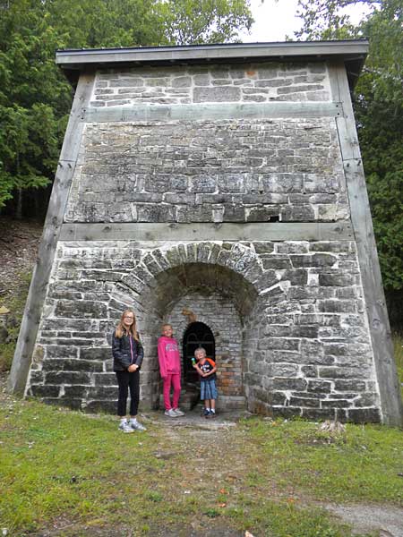 |
| The lime kiln near the furnace complex.
After checking out a few other buildings we went back to the campsite to eat lunch.
|
|
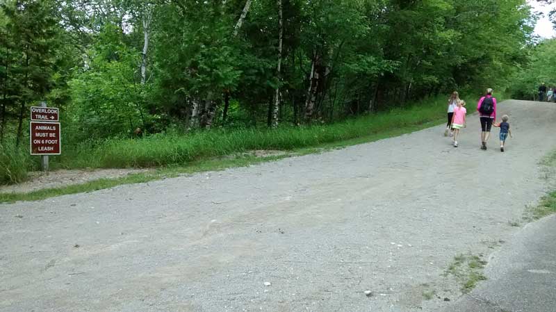 |
| It started to clear up in the afternoon so we went back to hike the Overlook Trail. |
|
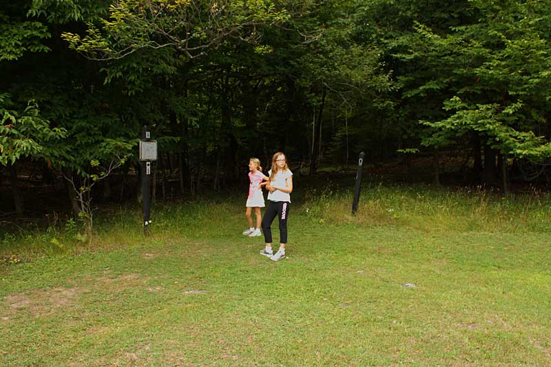 |
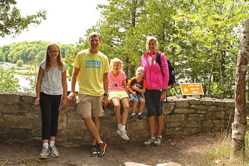
| We made this into a loop hike that was just under 2 miles by first heading up the dirt road towards the entrance station. To do the hike this way, watch for the trail map and hiking boot marker by the trees on the left for the start of the trail. |
|
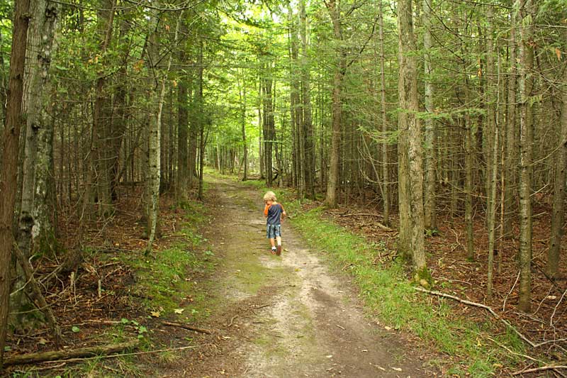 |
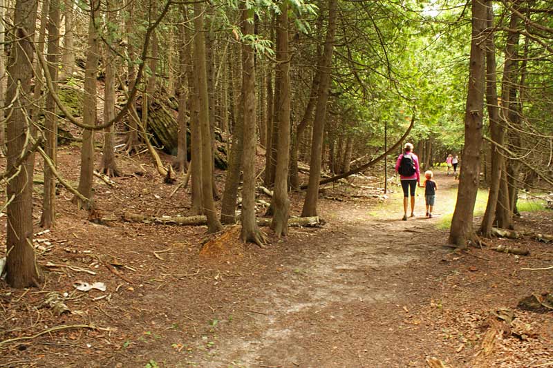
| The first half of the trail is a fairly wide 2-track. |
|
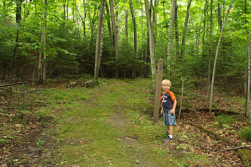 |
| The trail is well marked and easy to follow. |
|
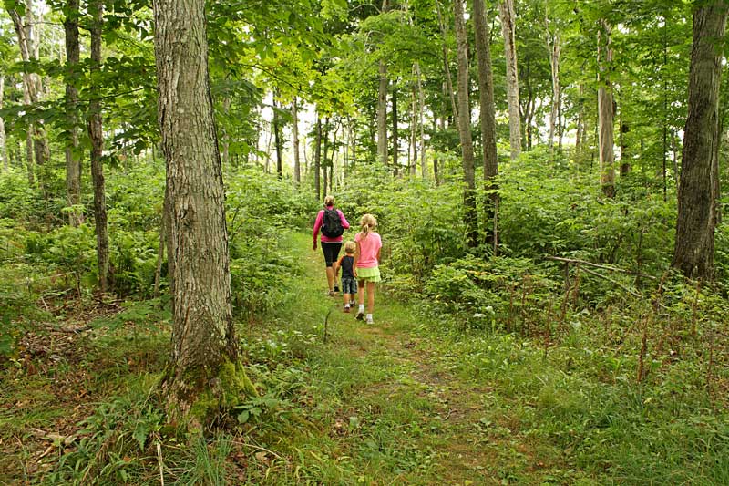 |
| As you near the limestone bluffs the trees start to thin and trail narrows. |
|
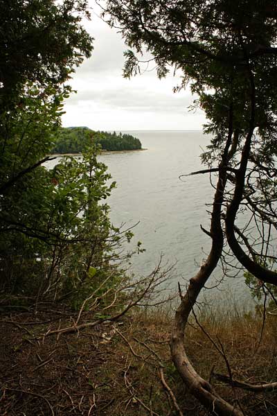 |
| The first look out over the edge of the bluffs. From the top you can hear the bell buoy that marks the entrance to the harbor. |
|
 |
| There are a couple spots with stone walls where you can get a close to the edge of the overlook. |
|
|
 |
| The trail along the top of the bluff. |
|
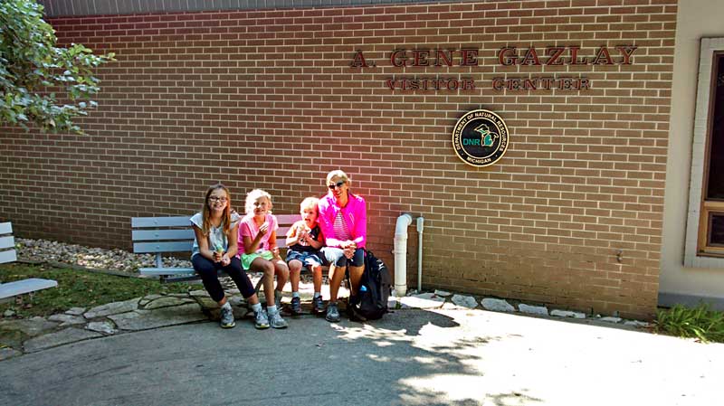 |
| Ice cream at the visitor center after the hike.
It was Saturday afternoon and it was getting busy at the visitor center and townsite. We were glad that we made it over the night before when we had it almost all to ourselves.
|
|
 |
| We spent the rest of the evening at the campground playing on the rocks, biking, swimming and relaxing by the fire. |
|
 |
| Another sunset over Big Bay DeNoc.
In the morning it was time to leave Fayette and head north up to Marquette. We all enjoyed our stay at Fayette. We had a nice campsite near the water and the history is interesting. I think 2 nights is about the right amount of time to spend here. If there were showers we probably could have spent one more night and another day exploring the Garden Peninsula and kayaking in Big Bay De Noc. Click the link below to see what we did during our next stop in Marquette. |
|
|
Our Next Stop at the Marquette Tourist Park >>
<< Back to Our Home Page
|
|
|
|
|
| Our Favorites From This Trip: |
Canon Rebel XS DSLR Camera
I am often asked about the camera that I use for the photos on this site. We are starting to use our cells phone cameras more now because of the convenience and improved quality. However, when I want to good quality photo it is still hard to beat my old Cannon DSLR camera.
I have been using a relatively inexpensive Canon Rebel XS with the 18-55mm lens for several years now. This trusty old camera only has a 10MP sensor, but the photos still look better than our 16MP point-and-shoot. For outdoor shots I often use a Circular Polarizer Filter
to reduce glare and really make sky and other colors really pop.
Click here to find Canon DSLR Cameras on Amazon >> |
 
|
| Also see our Michigan Adventure Guidebook Page >> |
|
| |